Abapo Airport
Abapo Airport (ICAO: SLAB) was a public use airport in the Santa Cruz Department of Bolivia.
Abapo Airport | |||||||||||
|---|---|---|---|---|---|---|---|---|---|---|---|
| Summary | |||||||||||
| Airport type | Closed | ||||||||||
| Serves | Abapo, Bolivia | ||||||||||
| Elevation AMSL | 1,166 ft / 355 m | ||||||||||
| Coordinates | 18°38′04″S 62°56′12″W | ||||||||||
| Map | |||||||||||
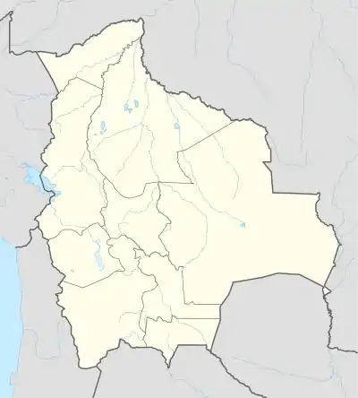 SLAB Location of Abapo Airport in Bolivia | |||||||||||
| Runways | |||||||||||
| |||||||||||
The runway seen in a 2016 aerial image[2] at the coordinates given is overgrown with scrub and brush, with no access road apparent. The location is 58 kilometres (36 mi) distant from Abapó.
See also
 Bolivia portal
 Aviation portal
- Transport in Bolivia
- List of airports in Bolivia
References
- Airport record for Abapo Airport at Landings.com. Retrieved 2013-09-02
- Google Maps - Abapo
- Airport information for SLAB at Great Circle Mapper.
This article is issued from Wikipedia. The text is licensed under Creative Commons - Attribution - Sharealike. Additional terms may apply for the media files.