Afon Angell
From its source on the eastern flank of Mynydd Dolgoed,[1] it flows eastwards, joining the Afon Dyfi at the small village of Aberangell. The river was known for its salmon and trout fishing in the Victoria era.[2] A number of slate mines were once found along its length, linked to Aberangell by the Hendre-Ddu Tramway.[3]
| Afon Angell | |
|---|---|
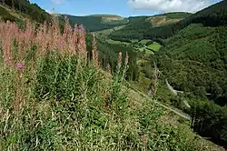
 The valley of the Afon Angell looking west near Gartheiniog Farm | |
| Location | |
| Country | Wales |
| Region | Gwynedd |
| Physical characteristics | |
| Mouth | |
• location | River Dyfi, Aberangell |
• coordinates | 52°40′18″N 3°42′33″W |
References
- Great Britain. Forestry Commission (1963). Journal.
- John Murray (publishers.) (1861). Handbook for travellers in North Wales. pp. 142–.
- Trevor M. Thomas (1961). The mineral wealth of Wales and its exploitation. Oliver and Boyd.
This article is issued from Wikipedia. The text is licensed under Creative Commons - Attribution - Sharealike. Additional terms may apply for the media files.