Athahatha
Athahatha village, Zamania, Ghazipur, Uttar Pradesh, India was established in 1799.
Athahatha | |
|---|---|
Village | |
| Nickname(s): The village of less weat farming | |
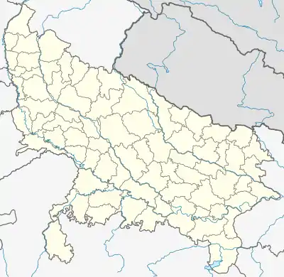 Athahatha Location in Uttar Pradesh, India | |
| Coordinates: 25.497465°N 83.734425°E | |
| Country | |
| State | Uttar Pradesh |
| District | Ghazipur |
| Established | 1799 |
| Government | |
| • Type | Panchayati Raj (India) |
| • Body | Gram Pradhan |
| Area | |
| • Total | 268 ha (662 acres) |
| Elevation | 70 m (230 ft) |
| Population (2011) | |
| • Total | 2,821 |
| • Density | 1,100/km2 (2,700/sq mi) |
| Languages | |
| • Official | Bhojpuri, Hindi, Urdu |
| Time zone | UTC+5:30 (IST) |
| PIN | 232326 |
| Telephone code | 05497 |
| Vehicle registration | UP 61 |
External links
- Google maps accessed 24 January 2017
- Brand Bharat, accessed 24 January 2017
- Village Info, accessed 24 January 2017
This article is issued from Wikipedia. The text is licensed under Creative Commons - Attribution - Sharealike. Additional terms may apply for the media files.