Bobo Eina Island
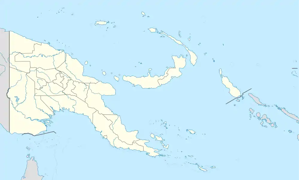
Bobo Eina Island is an island in Papua New Guinea, part of the Calvados Chain within the Louisiade Archipelago. It is located near Bagaman Island. It is used as a fishermen camp for the men of Bagaman. In recent years, Bagaman islanders use Bobo Eina for gardening yams, and have also established a pig farm on the island.
.JPG.webp) Satellite image | |
 Bobo Eina | |
| Geography | |
|---|---|
| Location | Oceania |
| Coordinates | 11°08′S 152°44′E[1] |
| Archipelago | Louisiade Archipelago |
| Adjacent bodies of water | Solomon Sea |
| Total islands | 1 |
| Major islands |
|
| Area | 2.43 km2 (0.94 sq mi) |
| Highest elevation | 245 m (804 ft) |
| Highest point | Mount Bobo Eina |
| Administration | |
| Province | |
| District | Samarai-Murua District |
| LLG [2] | Louisiade Rural LLG |
| Island Group | Calvados Chain |
| Largest settlement | Bobo Eina |
| Demographics | |
| Population | 2 (2014) |
| Pop. density | 0.8/km2 (2.1/sq mi) |
| Ethnic groups | Papauans, Austronesians, Melanesians. |
| Additional information | |
| Time zone |
|
| ISO code | PG-MBA |
| Official website | web |
This article is issued from Wikipedia. The text is licensed under Creative Commons - Attribution - Sharealike. Additional terms may apply for the media files.