Boboyi
Boboyi, or Bhobhoyi, is a settlement in KwaZulu-Natal, South Africa. It is located 8 km west of Port Shepstone and is named after the Boboyi River which runs through the village.[2][3]
Boboyi | |
|---|---|
 Boboyi  Boboyi | |
| Coordinates: 30°44′05″S 30°23′35″E | |
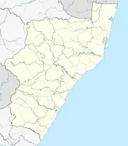
| Country | South Africa |
| Province | KwaZulu-Natal |
| District | Ugu |
| Municipality | Ray Nkonyeni |
| Area | |
| • Total | 3.56 km2 (1.37 sq mi) |
| Population (2011)[1] | |
| • Total | 6,915 |
| • Density | 1,900/km2 (5,000/sq mi) |
| Racial makeup (2011) | |
| • Black African | 99.0% |
| • Coloured | 0.5% |
| • Indian/Asian | 0.3% |
| • White | 0.1% |
| • Other | 0.1% |
| First languages (2011) | |
| • Zulu | 83.6% |
| • Xhosa | 8.9% |
| • Ndebele | 2.3% |
| • English | 2.3% |
| • Other | 2.9% |
| Time zone | UTC+2 (SAST) |
| Postal code (street) | 4240 |
| PO box | 4253 |
It is surrounded in the neighbourhood by Murchison, Mobatsha and Marburg. It is situated along the N2 national road between Port Shepstone and Ezinqoleni.
References
- "Sub Place Boboyi". Census 2011.
- Media, 02 Dec 2015-Road Safety in the. "Woman hit by a truck on the N2 in Boboyi". Arrive Alive. Retrieved 2020-01-03.
- "Police monitoring Murchison area following violent protest". ECR. Retrieved 2020-01-03.
This article is issued from Wikipedia. The text is licensed under Creative Commons - Attribution - Sharealike. Additional terms may apply for the media files.