Bramcote, Warwickshire
Bramcote is a village in the Rugby district of Warwickshire in England.
| Bramcote | |
|---|---|
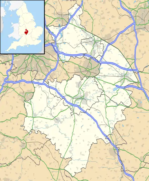 Bramcote Location within Warwickshire | |
| Population | 321 (2001) |
| OS grid reference | SP403886 |
| Civil parish | |
| District | |
| Shire county | |
| Region | |
| Country | England |
| Sovereign state | United Kingdom |
| Post town | NUNEATON |
| Postcode district | CV11 |
| Dialling code | 01455 |
| Police | Warwickshire |
| Fire | Warwickshire |
| Ambulance | West Midlands |
It is located just south of the B4114 road and adjacent to the M69 motorway. The population in 2001 was 321, which included the hamlet of Bramcote Mains a quarter of a mile to the south, and 214 armed services personnel at the nearby Gamecock Barracks.[1] Population details for the 2011 Census can be found under Wolvey.
Bramcote Waters Golf Course lies to the east[2] and Bramcote NHS Hospital to the north.[3] Prior to the barracks at Bramcote being occupied by the Army, it was Royal Naval Air Station Bramcote H.M.S.Gamecock. During the war it was an R.A.F. station (RAF Bramcote).
References
- Warwickshire 2001 census Archived July 28, 2011, at the Wayback Machine Warwickshire County Council
- Bramcote Waters Golf Course Archived June 16, 2011, at the Wayback Machine Warwickshire County Council Tourist Attractions
- Bramcote Hospital www.nhs.uk
| Authority control |
|
|---|
This article is issued from Wikipedia. The text is licensed under Creative Commons - Attribution - Sharealike. Additional terms may apply for the media files.