Calenturitas Airport
Calenturitas Airport (ICAO: SKAL) is an airport serving the Calenturitas coal mine[3] and the town of La Loma in the Cesar Department of Colombia. The runway is adjacent to the surface mine, 10 kilometres (6.2 mi) northeast of La Loma.
Calenturitas Airport | |||||||||||
|---|---|---|---|---|---|---|---|---|---|---|---|
| Summary | |||||||||||
| Airport type | Public | ||||||||||
| Serves | La Loma, Colombia | ||||||||||
| Elevation AMSL | 195 ft / 59 m | ||||||||||
| Coordinates | 9°39′15″N 73°29′40″W | ||||||||||
| Map | |||||||||||
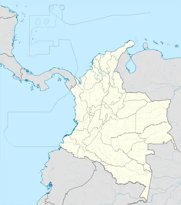 LLO Location of the airport in Colombia | |||||||||||
| Runways | |||||||||||
| |||||||||||
See also
 Colombia portal
 Aviation portal
- Transport in Colombia
- List of airports in Colombia
This article is issued from Wikipedia. The text is licensed under Creative Commons - Attribution - Sharealike. Additional terms may apply for the media files.