Chenkody
Chenkody is a village located 5 km east of Thiruvattar in the Kanyakumari District of Tamil Nadu, India.[1] The village is part of the Kallkkulam taluk. Chenkody is part of the Padmanabhapuram legislative assembly constituency.[2]
Chenkody | |
|---|---|
town | |
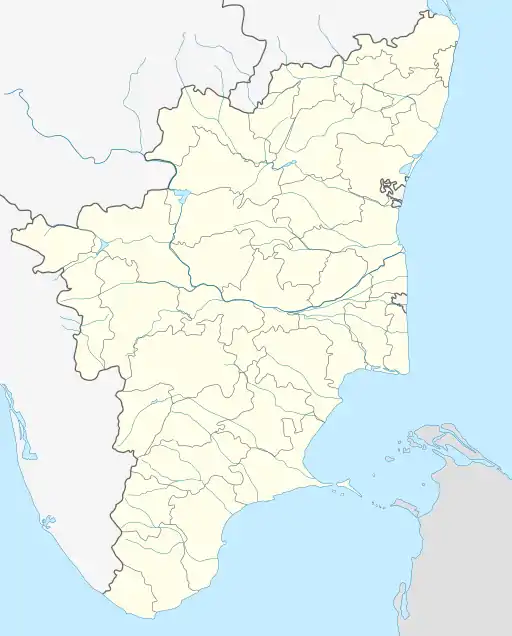 Chenkody Location in Tamil Nadu, India  Chenkody Chenkody (India) | |
| Coordinates: 8°20′7″N 77°18′55″E | |
| Country | |
| State | Tamil Nadu |
| District | Kanyakumari |
| Population | |
| • Total | 4,000 |
| • Density | 30/km2 (80/sq mi) |
| Languages | |
| • Official | Tamil |
| Time zone | UTC+5:30 (IST) |
| PIN | 629177 |
| Telephone code | 04561 |
| Vehicle registration | TN 75 |
| Nearest city | Marthandam |
| Sex ratio | 5:3 ♂/♀ |
| Literacy | 24% |
| Lok Sabha constituency | Kanyakumari |
| Vidhan Sabha constituency | Padmanabhapuram |
| Climate | Normal (Köppen) |
Chenkody is home to the 1200-year-old Mutathura Mahadever Temple. It is also home to paddies, banana, tapioca, coconut, and rubber plantations. Neighboring villages name are Ottalivilai, Vadakkanadu, Kotaravilai, Mangattukadai, Kumarankudi, Kaiyalavilai, and Pullani.
Facilities
- Chenkodi has a post office at Kumarankudy (branch office of the Thiruvattar post office).[3]
- Chenkodi has one secondary school - Mahadeva Vilasam High School.[4]
References
- "Chenkody Pin Code". PinCodeIndia.in. Archived from the original on 21 July 2011. Retrieved 8 October 2009.
- "Padmanabhapuram Assembly Constituencey" (PDF). Chief Electoral Officer, Tamil Nadu. Archived from the original (pdf) on 19 June 2009. Retrieved 8 October 2009.
- "India Post - Chenkody". Department of Posts, Government of India. Retrieved 8 October 2009.
- "List of Secondary School(s) in Verkilambi". Department of School Education, Government of Tamil Nadu. Archived from the original on 10 April 2009. Retrieved 8 October 2009.
This article is issued from Wikipedia. The text is licensed under Creative Commons - Attribution - Sharealike. Additional terms may apply for the media files.