Cuevo Airport
Cuevo Airport (ICAO: SLUC) was an airstrip 2 kilometres (1.2 mi) south of Cuevo in the Santa Cruz Department of Bolivia. Cuevo is a small town in a valley of the Cordillera Central mountains 25 kilometres (16 mi) west of Boyuibe.
Cuevo Airport | |||||||||||
|---|---|---|---|---|---|---|---|---|---|---|---|
| Summary | |||||||||||
| Airport type | Public | ||||||||||
| Serves | Cuevo, Bolivia | ||||||||||
| Elevation AMSL | 3,440 ft / 1,049 m | ||||||||||
| Coordinates | 20°28′40″S 63°31′40″W | ||||||||||
| Map | |||||||||||
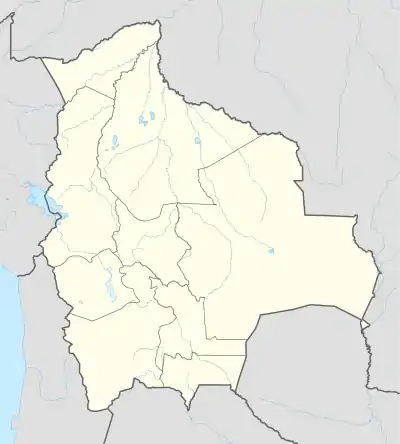 SLUC Location of Cuevo Airport in Bolivia | |||||||||||
| Runways | |||||||||||
| |||||||||||
Google Earth Historical Imagery (May 2006) shows 560 metres (1,840 ft) of an original 1,100 metres (3,600 ft) runway unobstructed by trees and brush. Later images by HERE/Nokia[3] and Bing Maps[4] show no length of clear runway.
See also
 Bolivia portal
 Aviation portal
- Transport in Bolivia
- List of airports in Bolivia
References
- Airport record for Cuevo Airport at Landings.com. Retrieved 2013-08-21
- Google (2013-08-21). "location of Cuevo Airport" (Map). Google Maps. Google. Retrieved 2013-08-21.
- HERE Maps - Cuevo Airstrip
- Bing Maps - Cuevo Airport
External links
This article is issued from Wikipedia. The text is licensed under Creative Commons - Attribution - Sharealike. Additional terms may apply for the media files.