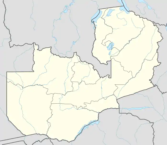
Garden Township, Lusaka
Garden Township, is a neighborhood in the city of Lusaka, the capital of Zambia.
Garden Township | |
|---|---|
City neighborhood | |
 Garden Township Location in Zambia | |
| Coordinates: 15°23′16″S 28°17′41″E | |
| Country | |
| Province | Lusaka |
Location
The neighborhood is bounded to the west by the highway (T2) which stretches to Kapira to the north and Chilanga to te south. To the northwest lie the neighborhoods of Chaisa and Mutambe. To the north the boundary is Kasangula Road. To the east is the more affluent neighborhood of Olympic Park. To the south, the boundaries are, from west to east; Makishi Road, the neighborhood of Chilulu and Manchinchi Road. The coordinates of Garden Township are: 15°23'16.0"S, 28°17'40.9"E (Latitude:-15.387767; Longitude:28.294726).[1]
Overview
Garden Township, Lusaka is a low income neighborhood. Katima Muliro Road, which runs from west to east through the neighborhood, divides the neighborhood into the north section, north of the road and the south section, south of the road. There are two large sewage ponds, one in each section of the neighborhood.[1] AB Bank Zambia maintains a branch in the neighborhood.[2][3]
See also
References
- Google (16 April 2016). "Location of Garden Township, Lusaka" (Map). Google Maps. Google. Retrieved 16 April 2016.
- ABBZ (16 April 2016). "AB Bank Zambia: Branch Network". Lusaka: AB Bank Zambia (ABBZ). Archived from the original on 25 January 2016. Retrieved 16 April 2016.
- Siame, Nancy (4 November 2015). "AB Bank boosts deposits". Lusaka: Zambia Daily Mail. Retrieved 16 April 2016.