Glenhazel
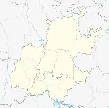
Glenhazel is a suburb of the Municipality of Johannesburg, South Africa. It is located in Region E, bordering Fairmount, Sandringham, Lydhurst and Percelia. The area lies on a sloping hill with a park in the valley.
Glenhazel | |
|---|---|
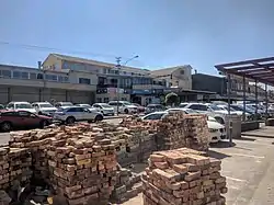 Glenhazel Centre | |
 Glenhazel 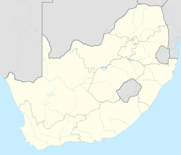 Glenhazel | |
| Coordinates: 26°8′34″S 28°6′2″E | |
| Country | South Africa |
| Province | Gauteng |
| Municipality | City of Johannesburg |
| Main Place | Johannesburg |
| Established | 1950 |
| • Councillor | (Democratic Alliance) |
| Area | |
| • Total | 1.29 km2 (0.50 sq mi) |
| Population (2011)[1] | |
| • Total | 2,991 |
| • Density | 2,300/km2 (6,000/sq mi) |
| Racial makeup (2011) | |
| • Black African | 23.2% |
| • Coloured | 0.5% |
| • Indian/Asian | 0.1% |
| • White | 75.3% |
| • Other | 0.9% |
| First languages (2011) | |
| • English | 76.9% |
| • Zulu | 4.9% |
| • Tswana | 4.3% |
| • Northern Sotho | 3.6% |
| • Other | 10.4% |
| Time zone | UTC+2 (SAST) |
| Postal code (street) | 2192 |
History
The suburb is situated on part of an old Witwatersrand farm called Rietfontein and was established in 1950.[2]:121
Geography
Communities
Glenhazel is well known for being a suburb with a high ethnic concentration of Jewish people. A large number of synagogues, schools and Jewish seminaries are based in and around the Glenhazel area. Yeshiva College of South Africa is found in the suburb.
References
- "Sub Place Glenhazel". Census 2011.
- Musiker, Naomi; Musiker, Reuben (2000). A Concise Historical Dictionary of Greater Johannesburg. Cape Town: Francolin. ISBN 1868590712.
This article is issued from Wikipedia. The text is licensed under Creative Commons - Attribution - Sharealike. Additional terms may apply for the media files.