Henry Islands
The Henry Islands are a group of four small islands in the western part of Henry Bay, Antarctica. They were delineated from air photos taken by U.S. Navy Operation Highjump (1946–47), and named by the Advisory Committee on Antarctic Names after Wilkes Henry, a midshipman on the sloop Vincennes during the United States Exploring Expedition (1838–42) under Lieutenant Charles Wilkes.[1]
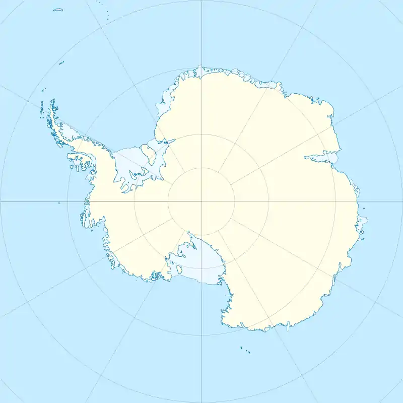 Henry Islands Location in Antarctica | |
| Geography | |
|---|---|
| Location | Antarctica |
| Coordinates | 66°53′S 120°38′E |
| Administration | |
| Administered under the Antarctic Treaty System | |
| Demographics | |
| Population | Uninhabited |
See also
- List of antarctic and sub-antarctic islands
References
- "Henry Islands". Geographic Names Information System. United States Geological Survey. Retrieved 2012-06-13.
![]() This article incorporates public domain material from the United States Geological Survey document: "Henry Islands". (content from the Geographic Names Information System)
This article incorporates public domain material from the United States Geological Survey document: "Henry Islands". (content from the Geographic Names Information System)
This article is issued from Wikipedia. The text is licensed under Creative Commons - Attribution - Sharealike. Additional terms may apply for the media files.