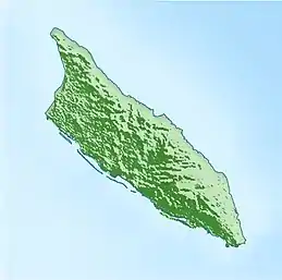
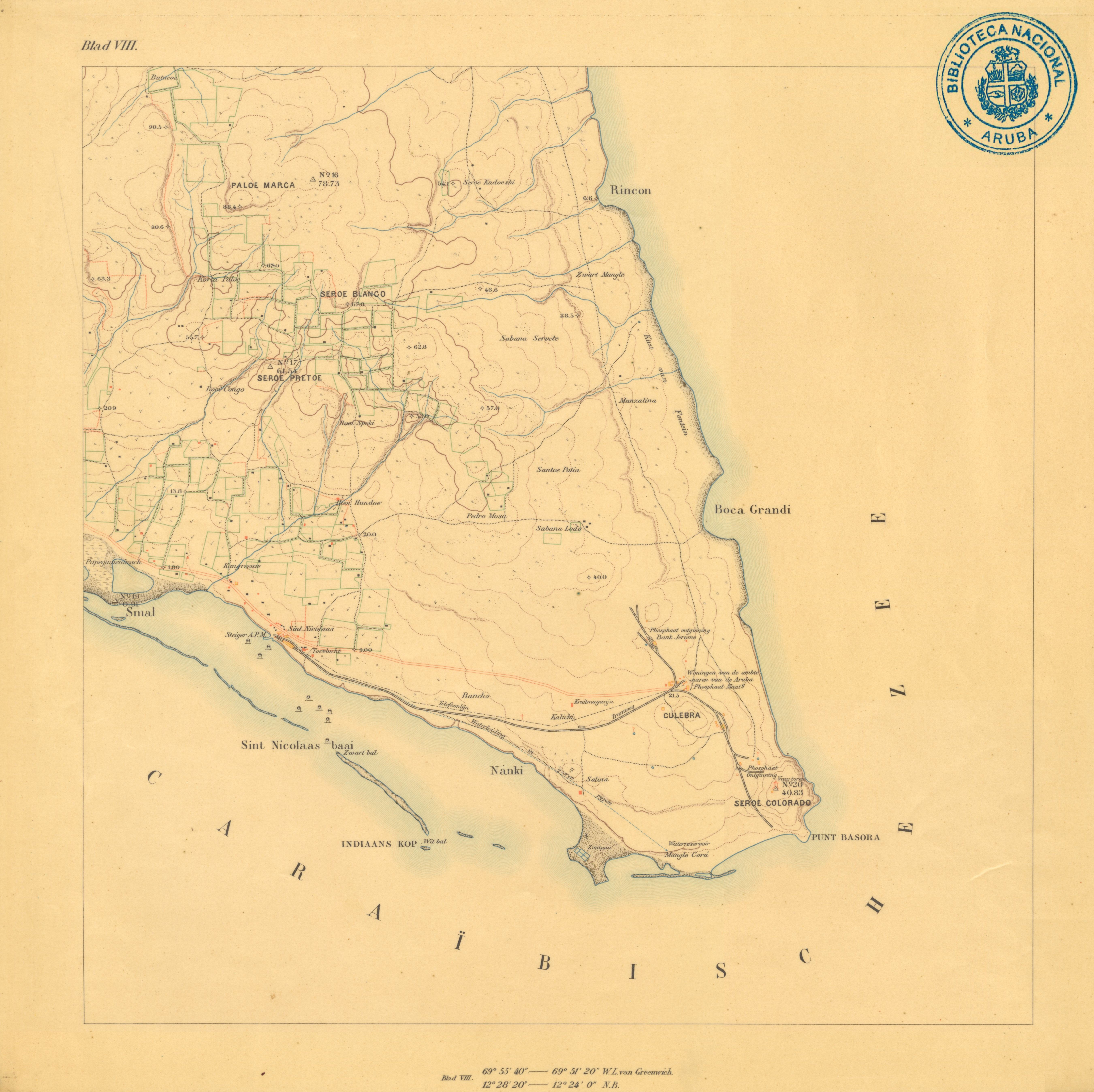
Indiaanskop
Indiaanskop or Indiaans kop (Dutch: Indian head) [1] is an island near Aruba.[2]
| Cabes di Ruba | |
|---|---|
 Indiaanskop 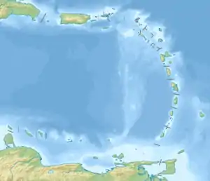 Indiaanskop  Indiaanskop | |
| Geography | |
| Location | Caribbean |
| Coordinates | 12°24.8798′N 69°53.7700′W |
| Archipelago | Leeward Islands, Lesser Antilles |
| Administration | |
| Additional information | |
| Time zone |
|
In the past estimated terrain elevation above sea level was 1 metre (3 ft 3 in). Presently the island is completely submerged and is marked with light.[3]
References
- Topographische Kaart van Aruba (1912) - Werbata-Jonckheer 1912
- Indiaanskop: Aruba National Geospatial-Intelligence Agency, Bethesda, MD, USA
- SINT NICOLAAS Haven - Indiaanskop light J6365 World of Lighthouses.
This article is issued from Wikipedia. The text is licensed under Creative Commons - Attribution - Sharealike. Additional terms may apply for the media files.