Kezi River
The Kezi River (Chinese: 克孜河), also marked as Kirzle River (克孜勒河) and Kirzlesu River (克孜勒苏河) on the map of People's Republic of China, is a river in Xinjiang Uygur Autonomous Region[4] of China, located in Kizilsu Kyrgyz Autonomous Prefecture.[5]
| Kezi River | |
|---|---|
| Native name | 克孜河[1] 克孜勒河[2] 克孜勒苏河[3] |
| Location | |
| Country | People's Republic of China |
| Physical characteristics | |
| Length | 900 kilometers (within China) |
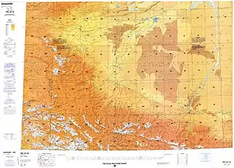
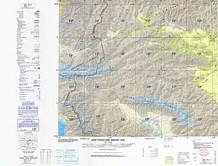
Kezi River originates from the Telapuqiya Peak (特拉普齐亚峰) in Kyrgyzstan and enters Wuqia County in Xinjiang through the border at Smukhana Pass (斯木哈纳山口), which is the boundary between the Tianshan and Kunlun Mountains.[6] The river flows 900 kilometers within China,[7] with a drainage area of 15,100 square kilometers.
Kezi River is the largest river in the Kashgar water system.[8] In China, the river flows from west to east through Wuqia County, Kizilsu Kyrgyz Autonomous Prefecture, Shufu County, Shule County, Kashgar City, Jiashi City, and Bachu County in Kashgar Prefecture,[9] and finally meets the Yarkant River and joins the Tarim River basin.[10]
The Kashi segment (Xinjiang) of Kezi River was badly polluted.[11] In 2016, the control unit in the Kashgar Prefecture of the Kezi River was upgraded from worse than Grade V to Grade V.[12]
References
- "Changing characteristics of land use/cover and landscape pattern from 1990 to 2010 in the Kaxgar River basin, Xinjiang" (PDF). National Natural Science Foundation of China. 2014-12-13.
- "Schematic diagram of the earthquake zone in Bachu, Jiashi, Xinjiang". Xinhua News Agency. 2003-02-24.
- "Kizilsu Kyrgyz Autonomous Prefecture of Xinjiang". State Ethnic Affairs Commission. 2004-07-13.
- "Soil and Water Loss Situation and Countermeasures in Downstream Area of Kezi River in Kaxgar River Basin of Xinjiang Wei Autonomous Region". Semantic Scholar. August 13, 2004. S2CID 132615390.
- "The song of happiness sings on the Pamir Mountains". Xinhua News Agency. Mar 5, 2006. Archived from the original on 2020-10-02.
- Karakoram: Physical Geography of the Kunlun Mountains Region. China Science Publishing & Media. 1999. ISBN 978-7-03-006933-7.
- "Kashgar pomegranate". Ministry of Commerce. Retrieved Oct 2, 2020.
- "100,000 artificially propagated fish fry released into the Kezi River". Sina. Oct 23, 2018.
- Encyclopedia of China. Encyclopedia of China Publishing House. 1999.
- Guan Shouxin; Liang Junyan; Zhang Wenya (2001). History of Kashgar Scenery. Yunnan People's Publishing House. ISBN 978-7-222-03202-6.
- "Report on the State of the Environment in China 2013" (PDF). Ministry of Ecology and Environment. 2016-06-21.
- "The 13th Five-Year Plan for the Protection of Ecological Environment" (PDF). Ministry of Ecology and Environment. 2017-06-23.