Luvua Airport
Luvua Airport (ICAO: FZRO) is an airstrip atop a mesa overlooking the Luvua River in Katanga Province, Democratic Republic of the Congo.
Luvua Airport | |||||||||||
|---|---|---|---|---|---|---|---|---|---|---|---|
| Summary | |||||||||||
| Airport type | Public | ||||||||||
| Serves | Luvua | ||||||||||
| Elevation AMSL | 4,298 ft / 1,310 m | ||||||||||
| Coordinates | 7°55′50″S 28°31′45″E | ||||||||||
| Map | |||||||||||
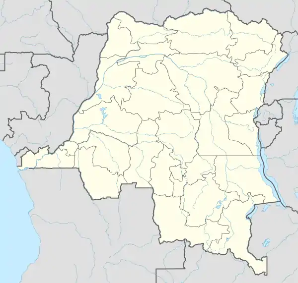 FZRO Location of the airport in Democratic Republic of the Congo | |||||||||||
| Runways | |||||||||||
| |||||||||||
See also
 Democratic Republic of the Congo portal
 Aviation portal
- Transport in the Democratic Republic of the Congo
- List of airports in the Democratic Republic of the Congo
References
- Google Maps - Luvua
- Airport information for Luvua Airport at Great Circle Mapper.
External links
- FallingRain - Luvua Airport
- HERE Maps - Luvua
- OpenStreetMaps - Luvua
- OurAirports - Luvua
- Accident history for Luvua Airport at Aviation Safety Network
This article is issued from Wikipedia. The text is licensed under Creative Commons - Attribution - Sharealike. Additional terms may apply for the media files.