Manikhawa
Manikhawa (Urdu: مانیکھاوا) is a village on the border of the Sherani District and Zhob District of Balochistan, Pakistan. The nearest populated place to Manikhawa is Sarai.[1] Mizri Ghar is a 3,111m tall (10,207ft) mountain nearby the village.
Manikhawa
مانیکھاوا | |
|---|---|
Village | |
 Manikhawa Location in Pakistan 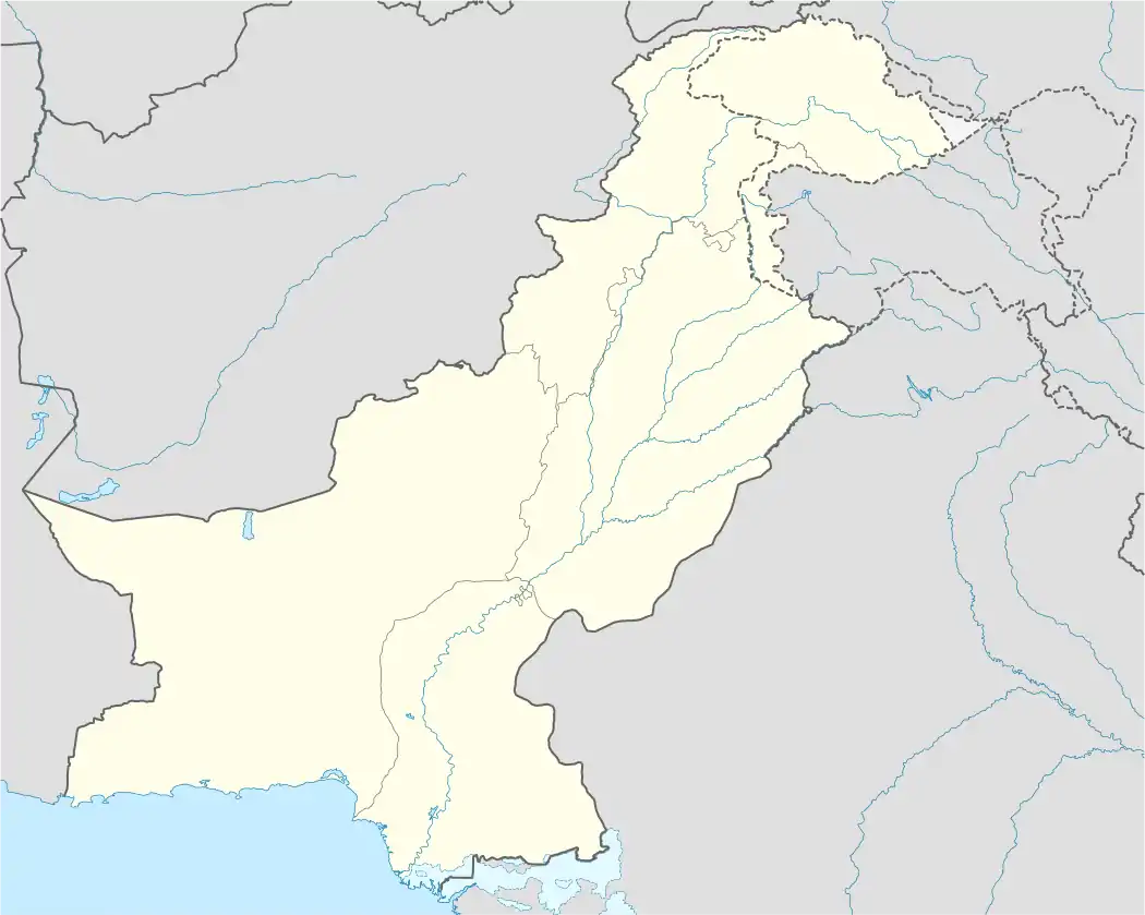 Manikhawa Manikhawa (Pakistan) | |
| Coordinates: 31°24′17″N 69°48′36″E | |
| Country | |
| Province | |
| District | Sherani District |
| Elevation | 0 m (0 ft) |
| Time zone | UTC+5 (Pakistan Standard Time [3]) |
Climate
Between 2009 and 2020, Manikhawa had a minimum:maximum of:
- Snowfall (cm): 0:7.2
- Wind Speed (kmph): 22.5:4
- Pressure (mb): 1020.2:997.6
- Humidity (%): 12:58
- Cloud coverage (%): 36:0
- UV Index: 8:2
- Sun hours (per month): 434
- Visibility (km): 13.7:9.2
| Climate data for Manikhawa | |||||||||||||
|---|---|---|---|---|---|---|---|---|---|---|---|---|---|
| Month | Jan | Feb | Mar | Apr | May | Jun | Jul | Aug | Sep | Oct | Nov | Dec | Year |
| Record high °C (°F) | 14 (57) |
15 (59) |
24 (75) |
27 (81) |
32 (90) |
34 (93) |
35 (95) |
35 (95) |
32 (90) |
30 (86) |
20 (68) |
19 (66) |
35 (95) |
| Average high °C (°F) | 11 (52) |
13 (55) |
19 (66) |
25 (77) |
30 (86) |
33 (91) |
33 (91) |
31 (88) |
29 (84) |
24 (75) |
18 (64) |
13 (55) |
33 (91) |
| Average low °C (°F) | 3 (37) |
5 (41) |
11 (52) |
16 (61) |
20 (68) |
23 (73) |
25 (77) |
24 (75) |
20 (68) |
14 (57) |
8 (46) |
4 (39) |
3 (37) |
| Record low °C (°F) | 0 (32) |
2 (36) |
9 (48) |
11 (52) |
18 (64) |
19 (66) |
22 (72) |
20 (68) |
15 (59) |
8 (46) |
5 (41) |
1 (34) |
0 (32) |
| Average precipitation mm (inches) | 3.6 (0.14) |
4.6 (0.18) |
10 (0.4) |
5.6 (0.22) |
5 (0.2) |
7.9 (0.31) |
7.9 (0.31) |
10.6 (0.42) |
1 (0.0) |
0.9 (0.04) |
0.9 (0.04) |
1.1 (0.04) |
59.1 (2.3) |
| Average rainy days | 5 | 7 | 10 | 10 | 6 | 10 | 10 | 10 | 1 | 1 | 5 | 2 | 77 |
| Average snowy days | 5 | 7 | 10 | 0 | 6 | 4 | 10 | 10 | 3 | 1 | 2 | 2 | 60 |
| Source: World Weather Online[4] | |||||||||||||
References
- "Weather Manikhawa | Forecast, Radar, Lightning & Satellite". Meteologix - bookmark this page. Retrieved 2021-01-27.
- Weather Mānikhawa Balochistān Pakistan
- The Weather Channel
- "Manikhawa, Balochistan, Pakistan Weather Averages". World Weather Online. Retrieved 27 January 2021.
This article is issued from Wikipedia. The text is licensed under Creative Commons - Attribution - Sharealike. Additional terms may apply for the media files.