Menherion
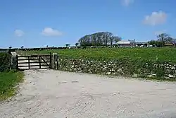
Menherion is a farm in the parish of Stithians in Cornwall, England. Menherion is west of Stithians churchtown.[1][2] Menherion is also the name of a hamlet in Cornwall.
| Menherion | |
|---|---|
 Menherion | |
 Menherion Location within Cornwall | |
| OS grid reference | SW705368 |
| Civil parish | |
| Unitary authority | |
| Ceremonial county | |
| Region | |
| Country | England |
| Sovereign state | United Kingdom |
See also
References
- Ordnance Survey: Landranger map sheet 203 Land's End & Isles of Scilly (St Ives & Lizard Point) (Map). Ordnance Survey. 2009. ISBN 978-0-319-23289-7.
- Ordnance Survey One-inch Map of Great Britain; Truro and Falmouth, sheet 190. 1961
Cornwall Portal | |
| Unitary authorities | |
| Major settlements |
|
| Rivers | |
| Topics | |
This article is issued from Wikipedia. The text is licensed under Creative Commons - Attribution - Sharealike. Additional terms may apply for the media files.