Olcott-Newfane Airport
Olcott-Newfane Airport (FAA LID: D80) is a privately owned, public use airport located two nautical miles (4 km) southwest of Olcott, a hamlet in the Town of Newfane, Niagara County, New York, United States.[1] This airport is currently closed indefinitely.[1]
Olcott-Newfane Airport | |||||||||||||||
|---|---|---|---|---|---|---|---|---|---|---|---|---|---|---|---|
| Summary | |||||||||||||||
| Airport type | Public use | ||||||||||||||
| Owner | Bruce Erck | ||||||||||||||
| Serves | Olcott, New York | ||||||||||||||
| Elevation AMSL | 315 ft / 96 m | ||||||||||||||
| Coordinates | 43°19′18″N 078°43′30″W | ||||||||||||||
| Map | |||||||||||||||
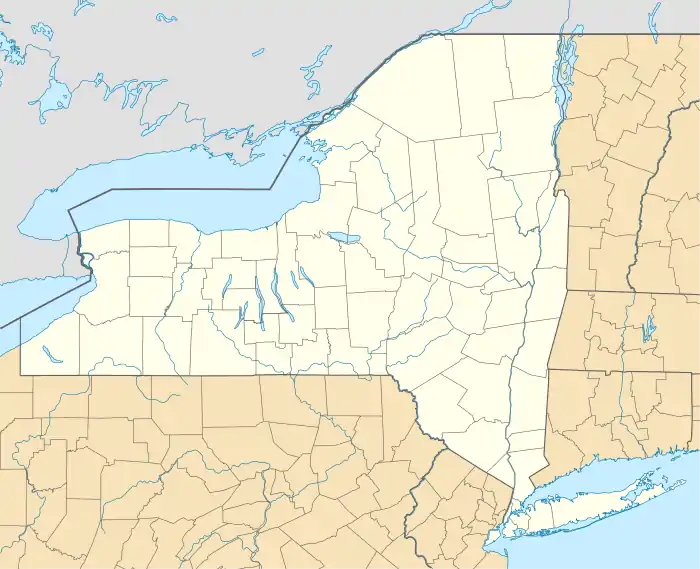 D80 Location of airport in New York | |||||||||||||||
| Runways | |||||||||||||||
| |||||||||||||||
Facilities
Olcott-Newfane Airport covers an area of 60 acres (24 ha) at an elevation of 315 feet (96 m) above mean sea level. It has two runways with turf surfaces: 9/27 is 2,500 by 60 feet (762 x 18 m) and 6/24 is 2,408 by 30 feet (734 x 9 m).[1]
References
- FAA Airport Form 5010 for D80 PDF. Federal Aviation Administration. Effective November 15, 2012.
External links
- Aerial image as of March 1995 from USGS The National Map
- Resources for this airport:
- FAA airport information for D80
- AirNav airport information for D80
- FlightAware airport information and live flight tracker
- SkyVector aeronautical chart for D80
This article is issued from Wikipedia. The text is licensed under Creative Commons - Attribution - Sharealike. Additional terms may apply for the media files.