Sølensjøen
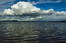
Sølensjøen in Rendalen municipality Innlandet county is part of the 46-mile Sølna river system in Norway. It is 14 km long, and the greatest depth is 58 m. With its width of 3 km, Sølensjøen has abundant populations of Arctic char, trout, grayling, whitefish, pike, burbot and perch, which has made it the locale of Norways only inland fishing village, on its north-western bank, Fiskevollen.
| Sølensjøen | |
|---|---|
 Lake Sølensjøen | |
 Sølensjøen 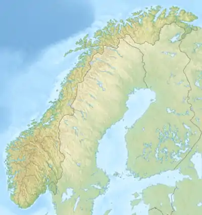 Sølensjøen | |
| Coordinates | 61°56′39″N 11°34′32″E |
| Max. length | 14 km (8.7 mi) |
| Max. width | 3 km (1.9 mi) |
| Surface area | 22.43 km2 (8.66 sq mi) |
| Max. depth | 58 m (190 ft) |
| Shore length1 | 42.67 km (26.51 mi) |
| Surface elevation | 688 m (2,257 ft) |
| References | Norwegian Water Resources and Energy Directorate |
| 1 Shore length is not a well-defined measure. | |
Southwest of the lake lies Mount Sølen.
References
- "Water Net". Norwegian Water Resources and Energy Directorate.
- Eknæs, Åsmund (1979). Innlandsfiske (Freshwater Fish). Samlaget.
- Frislid, Ragnar, ed. (1979). Femundsmarka og Sølentraktene. Gyldendal.
- Jørgensen, Jan Hoff. (1987). Sølensjøfisket (Fish in the Solensjoen). Master thesis.
This article is issued from Wikipedia. The text is licensed under Creative Commons - Attribution - Sharealike. Additional terms may apply for the media files.