Sainte-Colombe, Charente
Sainte-Colombe is a former commune in the Charente department in southwestern France. On 1 January 2018, it was merged into the new commune of Val-de-Bonnieure.[2]
Sainte-Colombe | |
|---|---|
Part of Val-de-Bonnieure | |
 | |
Location of Sainte-Colombe 
| |
 Sainte-Colombe 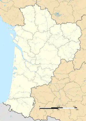 Sainte-Colombe | |
| Coordinates: 45°50′03″N 0°19′11″E | |
| Country | France |
| Region | Nouvelle-Aquitaine |
| Department | Charente |
| Arrondissement | Confolens |
| Canton | Boixe-et-Manslois |
| Commune | Val-de-Bonnieure |
| Area 1 | 6.50 km2 (2.51 sq mi) |
| Population (2017)[1] | 198 |
| • Density | 30/km2 (79/sq mi) |
| Time zone | UTC+01:00 (CET) |
| • Summer (DST) | UTC+02:00 (CEST) |
| Postal code | 16230 |
| Elevation | 75–129 m (246–423 ft) (avg. 78 m or 256 ft) |
| 1 French Land Register data, which excludes lakes, ponds, glaciers > 1 km2 (0.386 sq mi or 247 acres) and river estuaries. | |
Population
| Year | Pop. | ±% |
|---|---|---|
| 1793 | 445 | — |
| 1800 | 515 | +15.7% |
| 1806 | 519 | +0.8% |
| 1821 | 428 | −17.5% |
| 1831 | 507 | +18.5% |
| 1841 | 528 | +4.1% |
| 1846 | 494 | −6.4% |
| 1851 | 536 | +8.5% |
| 1856 | 485 | −9.5% |
| 1861 | 502 | +3.5% |
| 1866 | 516 | +2.8% |
| 1872 | 509 | −1.4% |
| 1876 | 501 | −1.6% |
| 1881 | 455 | −9.2% |
| 1886 | 433 | −4.8% |
| 1891 | 429 | −0.9% |
| 1896 | 409 | −4.7% |
| 1901 | 359 | −12.2% |
| 1906 | 348 | −3.1% |
| 1911 | 350 | +0.6% |
| 1921 | 331 | −5.4% |
| 1926 | 322 | −2.7% |
| 1931 | 317 | −1.6% |
| 1936 | 303 | −4.4% |
| 1946 | 283 | −6.6% |
| 1954 | 315 | +11.3% |
| 1962 | 279 | −11.4% |
| 1968 | 282 | +1.1% |
| 1975 | 217 | −23.0% |
| 1982 | 195 | −10.1% |
| 1990 | 174 | −10.8% |
| 1999 | 186 | +6.9% |
| 2008 | 185 | −0.5% |
See also
References
- Téléchargement du fichier d'ensemble des populations légales en 2017, INSEE
- Arrêté préfectoral 7 November 2017 2017 (in French)
| Wikimedia Commons has media related to Sainte-Colombe (Charente). |
| Authority control |
|---|
This article is issued from Wikipedia. The text is licensed under Creative Commons - Attribution - Sharealike. Additional terms may apply for the media files.