Toldos Airport
Toldos Airport (ICAO: SLTL) is a high-elevation airport serving the San Cristóbal silver mine and its supporting town in the Potosí Department of Bolivia. San Cristóbal is within the Bolivian Altiplano, and there is high terrain north and south of the runway.
Toldos Airport | |||||||||||
|---|---|---|---|---|---|---|---|---|---|---|---|
| Summary | |||||||||||
| Airport type | Public | ||||||||||
| Serves | San Cristóbal silver mine | ||||||||||
| Elevation AMSL | 11,800 ft / 3,597 m | ||||||||||
| Coordinates | 21°10′30″S 67°10′00″W | ||||||||||
| Map | |||||||||||
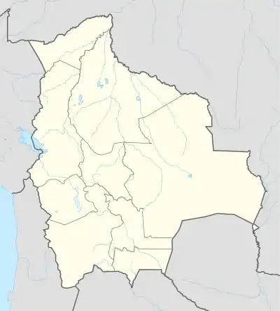 SLTL Location of Toldos Airport in Bolivia | |||||||||||
| Runways | |||||||||||
| |||||||||||
See also
 Bolivia portal
 Aviation portal
- Transport in Bolivia
- List of airports in Bolivia
References
- Airport record for Ventilla Airport at Landings.com. Retrieved 2013-08-21
- Google (2013-08-21). "location of Toldos Airport" (Map). Google Maps. Google. Retrieved 2013-08-21.
- Airport information for SLTL at Great Circle Mapper.
External links
- OpenStreetMap - San Cristóbal
- OurAirports - Toldos
- Fallingrain - Toldos Airport
- Accident history for Toldos Airport at Aviation Safety Network
This article is issued from Wikipedia. The text is licensed under Creative Commons - Attribution - Sharealike. Additional terms may apply for the media files.