Tulloch Airfield
Tulloch Airfield is an airstrip serving the town of Bog Walk in the Saint Catherine Parish of Jamaica.
Tulloch Airfield | |||||||||||
|---|---|---|---|---|---|---|---|---|---|---|---|
| Summary | |||||||||||
| Airport type | Private | ||||||||||
| Serves | Bog Walk, Jamaica | ||||||||||
| Elevation AMSL | 300 ft / 91 m | ||||||||||
| Coordinates | 18°06′15″N 76°59′20″W | ||||||||||
| Map | |||||||||||
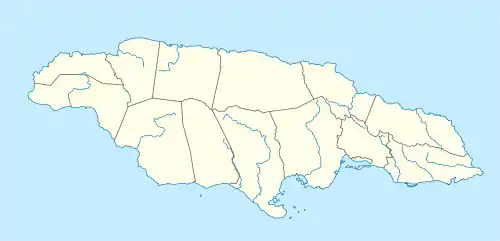 Tulloch Airfield Location of the airport in Jamaica | |||||||||||
| Runways | |||||||||||
| |||||||||||
There is high terrain south through east of the airstrip.
The Kingston non-directional beacon (Ident: KIN) is located 10.5 nautical miles (19.4 km) southeast of Tulloch Airfield. The Manley VOR/DME (Ident: MLY) is located 15.9 nautical miles (29.4 km) southeast of the runway.[3][4]
See also
 Jamaica portal
 Aviation portal
- Transport in Jamaica
- List of airports in Jamaica
This article is issued from Wikipedia. The text is licensed under Creative Commons - Attribution - Sharealike. Additional terms may apply for the media files.