Uyyalawada
Uyyalawada is a village in Uyyalawada mandal, located in Kurnool district of the Indian state of Andhra Pradesh.[1]
Uyyalawada | |
|---|---|
.svg.png.webp) Uyyalawada Location in Andhra Pradesh, India 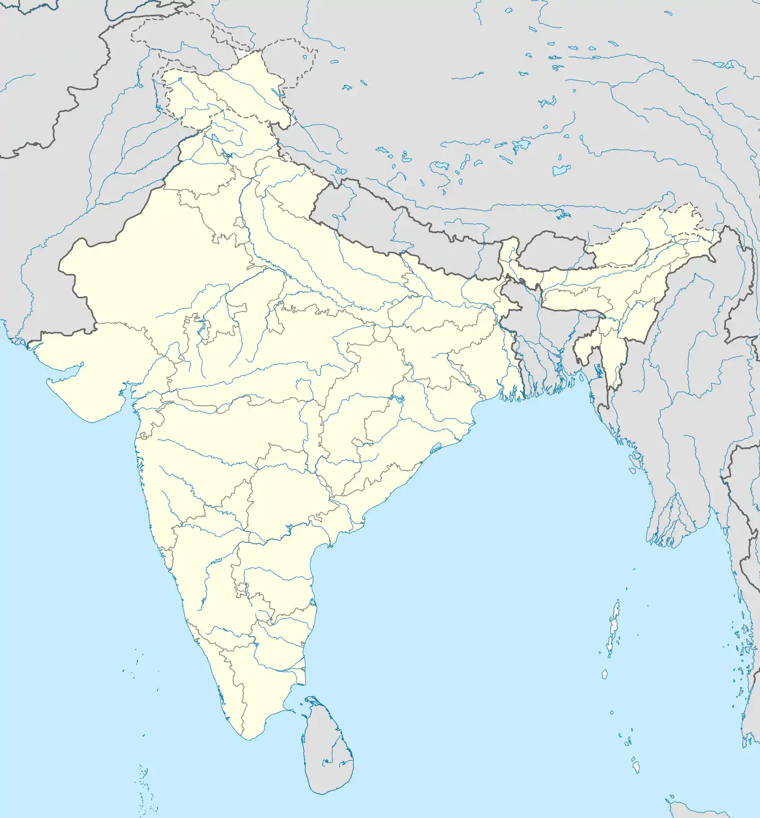 Uyyalawada Uyyalawada (India) | |
| Coordinates: 15.102°N 78.396°E | |
| Country | |
| State | Andhra Pradesh |
| District | Kurnool |
| Elevation | 216 m (709 ft) |
| Population | |
| • Total | 4,199 (2,011) |
| Languages | |
| • Official | Telugu |
| Time zone | UTC+5:30 (IST) |
| Vehicle registration | AP-21 |
Geography
Uyyalawada is located at 15.102°N 78.396°E. It is situated on the bank of the River Kundu, which is a tributary of the Penna River. It has an average elevation of 216 m (709 ft). Kundu start at uyyalawada village.
Demographics
As per 2011 census, Uyyalawada village has population of 4199 of which 2123 are males while 2076 are females. There are 1042 households in the village.[2]
References
- "Mandal wise villages" (PDF). Revenue Department - AP Land. National Informatics Center. p. 11. Archived from the original (PDF) on 14 December 2014. Retrieved 26 November 2014.
- Uyyalawada Population - Kurnool, Andhra Pradesh as per 2011 census
This article is issued from Wikipedia. The text is licensed under Creative Commons - Attribution - Sharealike. Additional terms may apply for the media files.