Zengen, Ereğli
Situated to the east of the Turkish state highway ![]() D.750, the village is at 37°49′25″N 34°13′43″E in Ereğli ilçe (district).[1] Its distance to Konya is 205 kilometres (127 mi).[2]Its population was 1996 as of 2012 [3]
D.750, the village is at 37°49′25″N 34°13′43″E in Ereğli ilçe (district).[1] Its distance to Konya is 205 kilometres (127 mi).[2]Its population was 1996 as of 2012 [3]
Zengen | |
|---|---|
Belde (Town) | |
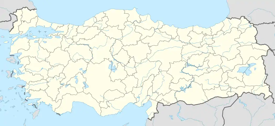 Zengen Location in Turkey | |
| Coordinates: 37°49′25″N 34°13′43″E | |
| Country | |
| Province | Konya Province |
| District | Ereğli |
| Neighborhood | 1977 |
| Elevation | 1,075 m (3,585 ft) |
| Population (2012) | |
| • Total | 1,996 |
| Time zone | UTC+2 (EET) |
| • Summer (DST) | UTC+3 (EEST) |
| Area code(s) | 0332 |
Zengen is a village in Konya Province , Turkey
In 1977 Zengen was declared a belde (township) with a municipality. But in 2014, by the Law act no 6360 it was made a neighborhood of Ereğli.[4]
See also
References
- "Kızılca to Konya". Kızılca to Konya. Retrieved 2020-11-27.
This article is issued from Wikipedia. The text is licensed under Creative Commons - Attribution - Sharealike. Additional terms may apply for the media files.