Étrépagny
Étrépagny is a commune in the Eure department in the Normandy region in northern France.
Étrépagny | |
|---|---|
 The church in Étrépagny | |
.svg.png.webp) Coat of arms | |
Location of Étrépagny 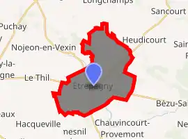
| |
 Étrépagny 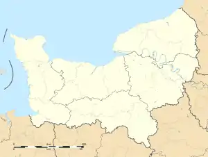 Étrépagny | |
| Coordinates: 49°18′24″N 1°36′44″E | |
| Country | France |
| Region | Normandy |
| Department | Eure |
| Arrondissement | Les Andelys |
| Canton | Gisors |
| Government | |
| • Mayor (2020–2026) | Frédéric Cailliet |
| Area 1 | 20.38 km2 (7.87 sq mi) |
| Population (2017-01-01)[1] | 3,764 |
| • Density | 180/km2 (480/sq mi) |
| Time zone | UTC+01:00 (CET) |
| • Summer (DST) | UTC+02:00 (CEST) |
| INSEE/Postal code | 27226 /27150 |
| Elevation | 74–134 m (243–440 ft) (avg. 104 m or 341 ft) |
| 1 French Land Register data, which excludes lakes, ponds, glaciers > 1 km2 (0.386 sq mi or 247 acres) and river estuaries. | |
Population
| Year | Pop. | ±% |
|---|---|---|
| 1962 | 2,501 | — |
| 1968 | 2,637 | +5.4% |
| 1975 | 3,074 | +16.6% |
| 1982 | 3,151 | +2.5% |
| 1990 | 3,671 | +16.5% |
| 1999 | 3,553 | −3.2% |
| 2008 | 3,676 | +3.5% |
International relations
Since 1989, the town has been twinned with the Irish town of Trim which has a significant Norman heritage.
See also
References
- "Populations légales 2017". INSEE. Retrieved 6 January 2020.
| Wikimedia Commons has media related to Étrépagny. |
| Authority control |
|---|
This article is issued from Wikipedia. The text is licensed under Creative Commons - Attribution - Sharealike. Additional terms may apply for the media files.