A10 (Croatia)
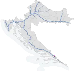
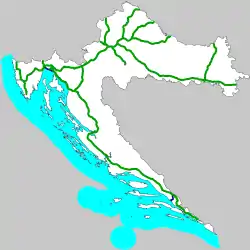
The A10 motorway (Croatian: Autocesta A10) is a motorway in southern Croatia extending from the border with Bosnia and Herzegovina to the Croatian A1 motorway Ploče interchange.[1] The motorway includes the Nova Sela border crossing.[2] It connects to the A1 motorway in Bosnia and Herzegovina. The motorway is 8.8 km (5.5 mi) long. It is the shortest motorway in Croatia, but still important as a part of the Pan-European Corridor Vc.[3]
| |
|---|---|
| Autocesta A10 | |
 | |
| Route information | |
| Part of | |
| Major junctions | |
| From | |
| To | |
| Location | |
| Counties | Dubrovnik-Neretva |
| Highway system | |
| Motorways in Croatia | |
History
On 15 May 2007, the Croatian Government and the Government of Bosnia and Herzegovina signed a Protocol on cooperation that defined the contact point of the Croatian and Bosnian-Herzegovinian motorways on the Corridor Vc, which caused a significant alteration of the Croatian A1 route near Vrgorac as well as a complete revamp of the A10 route.[4]
Scheduled in 2011 to open in 2013,[3] the A10 was opened in late 2013.[5]
Traffic volume
Traffic is regularly counted and reported by Hrvatske autoceste, the operator of the motorway, and the results are published by Hrvatske ceste. The volume tracked includes the annual average daily traffic (AADT) and average summer daily traffic (ASDT).[6]
| A10 traffic volume details | ||||
| Road | Counting site | AADT | ASDT | Notes |
| 6105 Ploče interchange - east | 1,804 | 3,601 | Between Kula Norinska and Ploče interchanges. | |
| 6106 Čarapine | 890 | 1,736 | Toll plaza. | |
Exit list
| County | km | Exit | Name | Destination | Notes |
|---|---|---|---|---|---|
| Dubrovnik‑Neretva | 0.4 | Nova Sela border crossing | Nova Sela border crossing to Bosnia and Herzegovina, where the road continues as the A1 motorway towards Mostar. The eastern terminus of the motorway. | ||
| 0.9 | 1 | Kula Norinska | Connection to Kula Norinska and Metković (D9). | ||
| 1.6 | Čarapine toll plaza | ||||
| 6.0 | Pojezerje rest area | ||||
| 8.4 | 2 | Ploče interchange | Connection to Ploče (via the D425) and Split (via the A1). The western terminus of the motorway. | ||
| 1.000 mi = 1.609 km; 1.000 km = 0.621 mi | |||||
Sources
- "Odluka o razvrstavanju javnih cesta" [Decision on categorization of public roads]. Narodne novine (in Croatian) (96/2016). October 14, 2016.
- Granični prijelazi PU dubrovačko-neretvanske Archived 2016-08-19 at the Wayback Machine Retrieved August 6, 2016.
- "Vlada: Ugovor o jamstvu i financiranju s EIB-om za dovršetak autoceste na koridoru Vc" [Government: Guarantee and funding contract with the EIB to complete the Corridor Vc motorway] (in Croatian). Government of the Republic of Croatia. April 28, 2011. Retrieved June 30, 2011.
- "HAC-ovi legalisti: Ugovori za dionicu tešku 2,6 milijardi su zakoniti" (in Croatian). Net.hr. 26 February 2010. Archived from the original on 14 January 2012. Retrieved 30 June 2011.
- "U promet su puštene dionice Vrgorac - čvor Ploče - Karamatići A1 i granica BiH - Ploče autoceste A10" [Sections Vrgorac - Ploče interchange - Karamatići of the A1, and Bosnia and Herzegovina border - Ploče of the A10 motorway, open for traffic] (in Croatian). Hrvatske autoceste. 20 December 2013. Archived from the original on 14 July 2014. Retrieved 14 July 2014.
- Milorad Božić; Dinko Kopić; Franjo Mihoci; Nenad Marold; Juraj Gršetić (April 2017). Brojenje prometa na cestama Republike Hrvatske godine 2016 [Traffic counting on the roadways of Croatia in 2016] (PDF). Hrvatske ceste, Prometis. p. 46. ISBN 978-953-6534-24-1. Archived from the original (PDF) on 2018-03-17. Retrieved 2018-03-19.
External links
- Google (20 March 2018). "A10 (Croatia)" (Map). Google Maps. Google. Retrieved 20 March 2018.

