Al-Ghizlaniyah
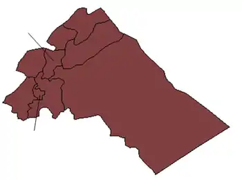
Al-Ghizlaniyah (Arabic: الغزلانية) is a village in southern Syria, administratively part of the Douma District of the Rif Dimashq Governorate, located east of Damascus. Nearby localities include Khirbet al-Ward to the west, al-Adiliyah to the southwest, Burraq to the south, al-Hayjanah to the southeast, Judaydat al-Khas to the east, Ghasulah and Harran al-Awamid, Sakka to the north, Deir al-Asafir and Shabaa to the northwest. According to the Syria Central Bureau of Statistics (CBS), al-Ghizlaniyah had a population of 10,473 in the 2004 census. It is the administrative center of the al-Ghizlaniyah nahiyah ("subdistrict") which consisted of 13 localities with a collective population of 36,715 in 2004.[1]
Al-Ghizlaniyah
الغزلانية | |
|---|---|
Town | |
 Al-Ghizlaniyah | |
| Coordinates: 33°23′55″N 36°27′11″E | |
| Country | |
| Governorate | Rif Dimashq |
| District | Douma |
| Subdistrict | Al-Ghizlaniyah |
| Population (2004)[1] | |
| • Total | 10,473 |
| Time zone | UTC+3 (EET) |
| • Summer (DST) | UTC+2 (EEST) |
References
- General Census of Population and Housing 2004. Syria Central Bureau of Statistics (CBS). Rif Dimashq Governorate. (in Arabic)
This article is issued from Wikipedia. The text is licensed under Creative Commons - Attribution - Sharealike. Additional terms may apply for the media files.

