Almirante Schroeders Airport
Almirante Schoeders Airport Spanish: Aeropuerto de Almirante Schoeders, (ICAO: SCDW) is a military airport on the northern point of Isla Dawson, an island midway through the Strait of Magellan in the Magallanes y Antártica Chilena Region of Chile.
Almirante Schoeders Airport | |||||||||||||||
|---|---|---|---|---|---|---|---|---|---|---|---|---|---|---|---|
| Summary | |||||||||||||||
| Airport type | Military | ||||||||||||||
| Serves | Isla Dawson | ||||||||||||||
| Elevation AMSL | 160 ft / 49 m | ||||||||||||||
| Coordinates | 53°36′40″S 70°28′15″W | ||||||||||||||
| Map | |||||||||||||||
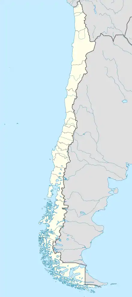 SCDW Location of Almirante Schoeders Airport in Chile | |||||||||||||||
| Runways | |||||||||||||||
| |||||||||||||||
The crossing runways are just inland from the island's eastern shore, and approach and departures are over the water.
The Punta Arenas VOR-DME (Ident: NAS) is located 39 nautical miles (72.2 km) north-northwest of the airport.[4]
See also
 Chile portal
 Aviation portal
- Transport in Chile
- List of airports in Chile
References
- Airport record for Almirante Schoeders Airport at Landings.com. Retrieved 2013-09-06
- Google (2013-09-06). "location of Almirante Schoeders Airport" (Map). Google Maps. Google. Retrieved 2013-09-06.
- Airport information for Almirante Schoeders Airport at Great Circle Mapper.
- Punta Arenas VOR
External links
- OpenStreetMap - Almirante Schoeders
- OurAirports - Almirante Schoeders
- SkyVector - Almirante Schoeders
- FallingRain - Almirante Schoeders Airport
- Accident history for Almirante Schoeders Airport at Aviation Safety Network
This article is issued from Wikipedia. The text is licensed under Creative Commons - Attribution - Sharealike. Additional terms may apply for the media files.