Balmaceda Airport
Balmaceda Airport (IATA: BBA, ICAO: SCBA) is an airport next to the village of Balmaceda, serving the Aysén Region of Chile. The airport is 4 kilometres (2.5 mi) west of the Argentina border, it is located 55 km south-east of Coyhaique, the regional capital.
Balmaceda Airport | |||||||||||
|---|---|---|---|---|---|---|---|---|---|---|---|
| Summary | |||||||||||
| Airport type | Public | ||||||||||
| Location | Balmaceda, Chile | ||||||||||
| Elevation AMSL | 1,719 ft / 524 m | ||||||||||
| Coordinates | 45°54′58″S 71°41′15″W | ||||||||||
| Map | |||||||||||
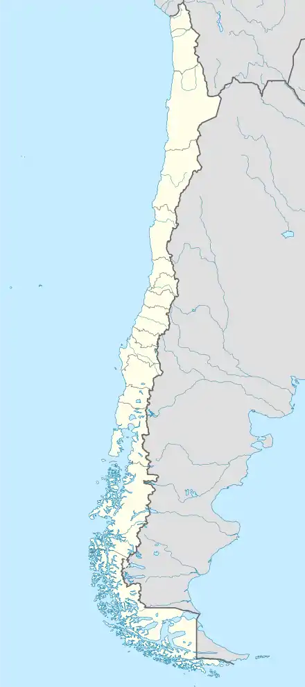
 BBA Location of Balmaceda Airport in Chile | |||||||||||
| Runways | |||||||||||
| |||||||||||
The Balmaceda VOR-DME (Ident: BAL) is located 0.31 nautical miles (0.6 km) off the approach threshold of Runway 09. The Balmaceda non-directional beacon (Ident: BAL) is located on the field.[4][5]
Expansion plans
In 2016 works to improve the airfield and expand capacity were commenced consisting of resurfacing the damaged runway surface, the building of a new 30 m wide parallel taxiway, a new control tower, expansion of the apron, and improvements to other administrative structures.[6] These were made with an investment of approximately 27 billion pesos, much of which were national funds intended for the development of remote regions of the country.[7]
In April 2018 the new taxiway entered use as a temporary runway (designated 09L/27R) to enable repair works on the main runway.[8]
Airlines and destinations
| Airlines | Destinations |
|---|---|
| JetSmart | Concepcion[9] |
| LATAM Chile | Puerto Montt, Santiago de Chile |
| Sky Airline | Puerto Montt, Santiago de Chile[10] |
Accidents and incidents
On 8 April 1968, Douglas C-49K CC-CBM of LADECO crashed on approach, killing all 36 people on board. The aircraft was operating a domestic scheduled passenger flight from Los Cerrillos Airport, Santiago.[11]
See also
 Chile portal
 Aviation portal
- Transport in Chile
- List of airports in Chile
References
- Airport record for Aeródromo Balmaceda at Landings.com
- Airport information for Balmaceda Airport at Great Circle Mapper.
- "Location of Balmaceda Airport". Google Maps. Google.com. Retrieved 12 February 2018.
- Balmaceda VOR
- Balmaceda NDB
- "CONTRATO: AMPLIACIÓN AREA MOVIMIENTO AERÓDROMO BALMACEDA, XI REGION" (PDF). MOP - Dirección de Aeropuertos. September 8, 2016. Retrieved May 29, 2018.
- "Aeródromo de Balmaceda suma nueva pista y torre de control". Economía y Negocios. November 25, 2017. Retrieved May 29, 2018.
- SCTZ NOTAM C0052, Chilean AIP.
- Liu, Jim. "JetSMART schedules new routes from Dec 2019". Routesonline. Retrieved 7 August 2019.
- "Sky Airline Adds New Domestic Routes in NW16". routesonline. Archived from the original on 8 August 2017. Retrieved 2 August 2016.
- "CC-CBM Accident description". Aviation Safety Network. Retrieved 24 July 2011.
External links
- Balmaceda Airport at OpenStreetMap
- Balmaceda Airport at OurAirports
- Aeronautical chart and airport information for Balmaceda Airport at SkyVector
- Balmaceda Airport at FallingRain
- Accident history for Balmaceda Airport at Aviation Safety Network
- Current weather for Balmaceda Airport at NOAA/NWS