Amarpura Jatan
Amarpura Jatan is a village located near Suratgarh. It is 8 kilometers away from Suratgarh in the Sri Ganganagar district of Rajasthan. Amarpura Jatan has a high literacy rate and is the most developed village in the area. Amarpura Jatan is located at 29.32°N 73.9°E.[1] It has an average elevation of 168 metres (551) feet.
Amarpura Jatan
Amarpura | |
|---|---|
village | |
 Amarpura Jatan Location in Rajasthan, India 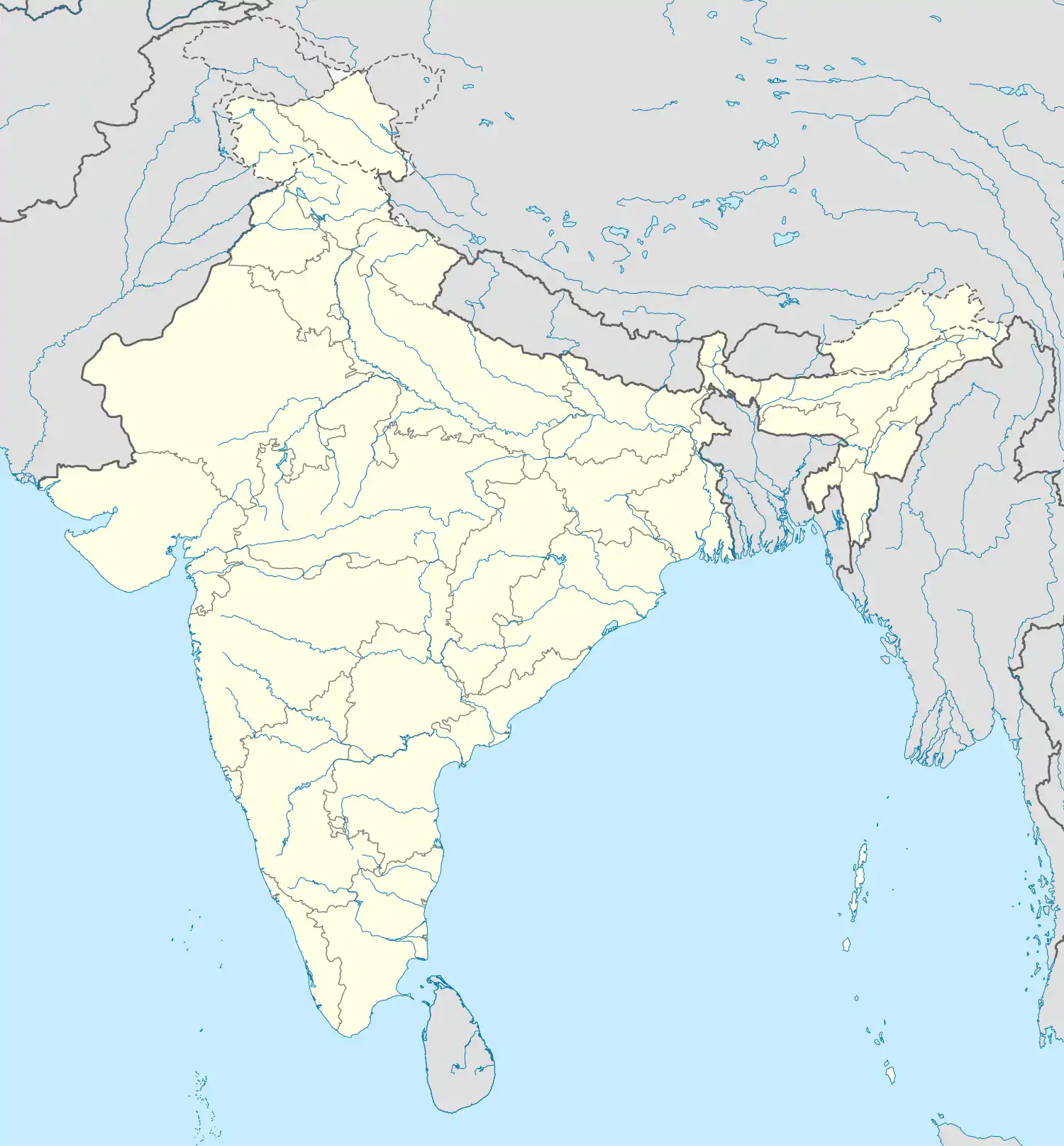 Amarpura Jatan Amarpura Jatan (India) | |
| Coordinates: 29.31°N 73.79°E | |
| Country | |
| State | Rajasthan |
| District | Ganganagar |
| Population | |
| • Total | 6,589 |
| Languages | |
| • Official | Hindi |
| Time zone | UTC+5:30 (IST) |
| Telephone code | 01509 |
| ISO 3166 code | RJ-IN |
| Vehicle registration | RJ- 13 |
| Nearest city | Suratgarh |
| Sex ratio | 895 ♂/♀ |
| Literacy | 79% |
| Lok Sabha constituency | bikaner |
| Vidhan Sabha constituency | suratgarh |
| Climate | sunny (Köppen) |
References
This article is issued from Wikipedia. The text is licensed under Creative Commons - Attribution - Sharealike. Additional terms may apply for the media files.