Baía Farta
Baía Farta is a town and municipality in Benguela Province in Angola.[4] The municipality had a population of 107,841 in 2014.[1]
Baía Farta | |
|---|---|
Municipality and town | |
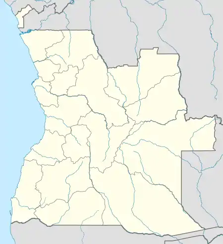 Baía Farta Location in Angola | |
| Coordinates: 12°36′26″S 13°11′40″E | |
| Country | |
| Province | Benguela Province |
| Area | |
| • Municipality and town | 6,866 km2 (2,651 sq mi) |
| Population (2014 Census)[1] | |
| • Municipality and town | 107,841 |
| • Density | 16/km2 (41/sq mi) |
| • Urban | 45,000 |
| Time zone | UTC+1 (WAT) |
| Climate | BWh |
 Angola | |

| |
| Location | Baía Farta Angola |
|---|---|
| Coordinates | 12°35′49″S 13°12′01″E |
| Year first constructed | 1953 |
| Construction | concrete tower |
| Tower shape | quadrangular tower with light atop a service building |
| Markings / pattern | white and red horizontal band |
| Tower height | 10 metres (33 ft) |
| Focal height | 11 metres (36 ft) |
| Characteristic | Fl G 3s. |
| Admiralty number | D5318 |
| ARLHS number | ANO-030[3] |
| Managing agent | Instituto Marítimo e Portuário de Angola |
See also
References
- "Resultados Definitivos Recenseamento Geral da População e Habitação – 2014 Província de Benguela" (PDF). Instituto Nacional de Estatística, República de Angola. Retrieved 3 May 2020.
- Cityopulation.de Population of cities & urban localities in Angola
- "Angola". The Lighthouse Directory. University of North Carolina at Chapel Hill. Retrieved 9 May 2017.
- "City councils of Angola". Statoids. Retrieved April 6, 2009.
Capital: Benguela | |
| Benguela |
|
| Baía Farta |
|
| Balombo |
|
| Bocoio | |
| Caimbambo |
|
| Catumbela | |
| Chongorói |
|
| Cubal |
|
| Ganda | |
| Lobito |
|
This article is issued from Wikipedia. The text is licensed under Creative Commons - Attribution - Sharealike. Additional terms may apply for the media files.