Badia Polesine
Badia Polesine is a comune (municipality) in the Province of Rovigo in the Italian region Veneto, located about 70 kilometres (43 miles) southwest of Venice and about 25 kilometres (16 miles) west of Rovigo. It is part of the upper Polesine, and is bounded by the Adige river, which separates the communal territory from the province of Padua.
Badia Polesine | |
|---|---|
| Comune di Badia Polesine | |
_(Badia_Polesine).jpg.webp) Part of Vangadizza Abbey in the centre of Badia Polesine. | |
Location of Badia Polesine 
| |
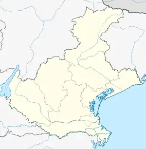
 Badia Polesine Location of Badia Polesine in Italy  Badia Polesine Badia Polesine (Veneto) | |
| Coordinates: 45°6′N 11°30′E | |
| Country | Italy |
| Region | Veneto |
| Province | Rovigo (RO) |
| Frazioni | Barchetta, Bovazecchino-Serraglio, Ca' Bulgaron, Colombano, Crocetta, Fornaci, Masetti, Nezzo, Orti, Rosta, Salvaterra, Villa d'Adige, Villa Fora |
| Government | |
| • Mayor | Giovanni Rossi |
| Area | |
| • Total | 44.5 km2 (17.2 sq mi) |
| Elevation | 11 m (36 ft) |
| Population (1 April 2012)[2] | |
| • Total | 10,878 |
| • Density | 240/km2 (630/sq mi) |
| Demonym(s) | Badiesi |
| Time zone | UTC+1 (CET) |
| • Summer (DST) | UTC+2 (CEST) |
| Postal code | 45021 |
| Dialing code | 0425 |
| Website | Official website |
Badia Polesine borders the following municipalities: Canda, Castagnaro, Castelbaldo, Giacciano con Baruchella, Lendinara, Masi, Piacenza d'Adige, Terrazzo, Trecenta. The main sight is the abbey of Vangadizza.
The town has a station on the Verona-Legnago-Rovigo railroad. It can be reached by road through the SS343 Transpolesana national road and the A31 motorway.
References
- "Superficie di Comuni Province e Regioni italiane al 9 ottobre 2011". Istat. Retrieved 16 March 2019.
- All demographics and other statistics: Italian statistical institute Istat.
This article is issued from Wikipedia. The text is licensed under Creative Commons - Attribution - Sharealike. Additional terms may apply for the media files.