Blackbird Caye Airstrip
Blackbird Caye Airstrip (ICAO: MZBB) is an airstrip serving Turneffe Atoll, a Caribbean atoll 38 kilometres (24 mi) off the coast of Belize.
Blackbird Caye Airstrip | |||||||||||
|---|---|---|---|---|---|---|---|---|---|---|---|
| Summary | |||||||||||
| Airport type | Private | ||||||||||
| Serves | Turneffe Atoll, Belize | ||||||||||
| Elevation AMSL | 10 ft / 3 m | ||||||||||
| Coordinates | 17°19′05″N 87°47′53″W | ||||||||||
| Map | |||||||||||
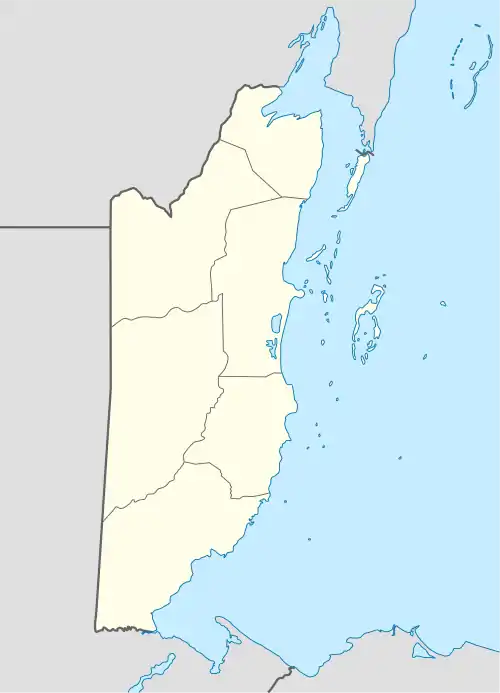 MZBB Location of airport in Belize | |||||||||||
| Runways | |||||||||||
| |||||||||||
Blackbird Caye is on the eastern side of the atoll, and the airstrip runs along the shore. Approach and departure are over the water.
The Belize VOR-DME (Ident: BZE) is located 32.4 nautical miles (60 km) west-northwest of the runway.[3]
See also
 Belize portal
 Aviation portal
- Transport in Belize
- List of airports in Belize
References
- "Blackbird Caye Airstrip". Google Maps. Google. Retrieved 18 January 2019.
- Airport information for Blackbird Caye Airstrip at Great Circle Mapper.
- "Belize VOR". Our Airports. Retrieved 17 January 2019.
This article is issued from Wikipedia. The text is licensed under Creative Commons - Attribution - Sharealike. Additional terms may apply for the media files.