Blythe River (Tasmania)
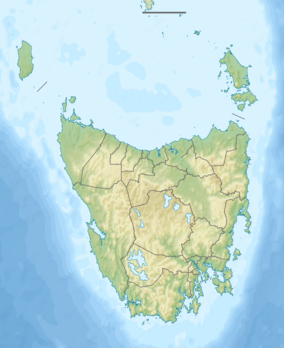
The Blythe River is a perennial river located in north-western region of Tasmania, Australia.
| Blythe | |
|---|---|
| Location | |
| Country | Australia |
| State | Tasmania |
| Region | North-west |
| Physical characteristics | |
| Source | Mount Tor |
| • location | near Rabbit Plain |
| • coordinates | 41°14′55″S 147°51′28″E |
| • elevation | 685 m (2,247 ft) |
| Mouth | Emu Bay, Bass Strait |
• location | Heybridge |
• coordinates | 41°04′41″S 145°58′50″E |
• elevation | 0 m (0 ft) |
| Length | 61 km (38 mi) |
| [1] | |
Location and features
The river rises near Rabbit Plain on the slopes of Mount Tor and flows generally north into Emu Bay in Bass Strait, at Heybridge,[2] near Burnie. The river descends 685 metres (2,247 ft) over its 61-kilometre (38 mi) course.[1]
The local economy relies on mining[3][4] and recreational fishing.[5][6]
References
- "Map of Blythe River, TAS". Bonzle Digital Atlas of Australia. 2015. Retrieved 30 June 2015.
- "Blythe River Tasmania". exploreOz.com.
- Dickens, Greg. "The Companion to Tasmanian History".
- Blake, F. "Blythe River and Cuprona Iron Areas" (PDF). Mineral Deposits. Archived from the original (PDF) on 4 March 2016.
- Paull, Daniel. "North West Trout". Tasmanian Fisheries.
- Clarke, Jarrod. "Blythe River". Sports Fish Tasmania.
This article is issued from Wikipedia. The text is licensed under Creative Commons - Attribution - Sharealike. Additional terms may apply for the media files.
