Cotuí
Cotuí is a city in the Dominican Republic and is one of the oldest cities of the New World. It is the capital of Sánchez Ramírez Province in the Cibao. During the 1822–44 Haitian occupation, the city was officially designated as Cotuy.
Cotuí | |
|---|---|
 Seal | |
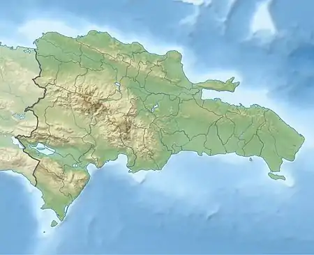 Cotuí Cotuí in the Dominican Republic | |
| Coordinates: 19°03′36″N 70°09′0″W | |
| Country | |
| Province | Sánchez Ramírez |
| Founded | 1505 |
| Municipality since | 1847 |
| Area | |
| • Total | 619.88 km2 (239.34 sq mi) |
| Elevation | 66 m (217 ft) |
| Population (2012)[3] | |
| • Total | 79,596 |
| • Density | 130/km2 (330/sq mi) |
| • Urban | 48,998 |
| • Demonym | Cotuisano(a) |
| Distance to – Santo Domingo | 105 km |
| Municipal Districts | 4 |
| Climate | Af |
It was founded in 1505 by Rodrigo de Trillo for order of Nicolas de Ovando, who was the governor of Hispaniola. Cotuí was the name of a Taíno community who governed the area. The city is well known for its gold, silver, iron, bauxite, marble and nickel mines, its rich soils and the largest artificial lake in the Caribbean, Presa de Hatillo. It is also known for its crystal clear rivers, and its caverns (prehistoric caves called Guácaras). It produces rice, plantains, cacao, pineapples, passion fruits, and yams. Cotui is also the hometown of Mets pitcher Duaner Sánchez, Milwaukee Brewers pitcher José Capellán and Blue Jays player Teoscar Hernández.
Other major towns near Cotuí in Sánchez Ramírez, are Villa La Mata, Fantino, La Cueva and Cevicos.
Climate
| Climate data for Cotuí (1961–1990) | |||||||||||||
|---|---|---|---|---|---|---|---|---|---|---|---|---|---|
| Month | Jan | Feb | Mar | Apr | May | Jun | Jul | Aug | Sep | Oct | Nov | Dec | Year |
| Record high °C (°F) | 34.0 (93.2) |
35.0 (95.0) |
37.2 (99.0) |
37.3 (99.1) |
38.6 (101.5) |
39.2 (102.6) |
38.6 (101.5) |
37.8 (100.0) |
38.9 (102.0) |
37.6 (99.7) |
35.3 (95.5) |
34.2 (93.6) |
39.2 (102.6) |
| Average high °C (°F) | 29.6 (85.3) |
30.4 (86.7) |
31.5 (88.7) |
32.0 (89.6) |
32.4 (90.3) |
33.1 (91.6) |
32.9 (91.2) |
33.0 (91.4) |
33.3 (91.9) |
33.0 (91.4) |
31.3 (88.3) |
29.6 (85.3) |
31.8 (89.2) |
| Average low °C (°F) | 18.5 (65.3) |
18.8 (65.8) |
19.8 (67.6) |
20.5 (68.9) |
21.5 (70.7) |
22.0 (71.6) |
22.1 (71.8) |
22.0 (71.6) |
21.7 (71.1) |
21.4 (70.5) |
20.6 (69.1) |
19.1 (66.4) |
20.7 (69.3) |
| Record low °C (°F) | 13.8 (56.8) |
15.0 (59.0) |
14.7 (58.5) |
15.0 (59.0) |
15.6 (60.1) |
16.8 (62.2) |
16.7 (62.1) |
16.9 (62.4) |
16.5 (61.7) |
16.5 (61.7) |
15.6 (60.1) |
15.0 (59.0) |
13.8 (56.8) |
| Average rainfall mm (inches) | 88.2 (3.47) |
98.0 (3.86) |
105.8 (4.17) |
126.7 (4.99) |
234.2 (9.22) |
149.6 (5.89) |
189.9 (7.48) |
209.1 (8.23) |
164.1 (6.46) |
161.2 (6.35) |
167.7 (6.60) |
148.9 (5.86) |
1,843.4 (72.57) |
| Average rainy days (≥ 1.0 mm) | 10.8 | 9.0 | 9.4 | 9.4 | 13.9 | 12.5 | 15.9 | 15.4 | 11.7 | 12.4 | 13.1 | 13.5 | 147.0 |
| Source: NOAA[4] | |||||||||||||
References
- Superficies a nivel de municipios, Oficina Nacional de Estadistica Archived April 17, 2009, at the Wayback Machine
- De la Fuente, Santiago (1976). Geografía Dominicana (in Spanish). Santo Domingo, Dominican Republic: Editora Colegial Quisqueyana.
- Censo 2012 de Población y Vivienda, Oficina Nacional de Estadistica
- "Cotui Climate Normals 1961-1990". National Oceanic and Atmospheric Administration. Retrieved September 12, 2016.