Curicó La Montaña Airport
La Montaña Airport Spanish: Aeropuerto de La Montaña, (ICAO: SCTM) is an airstrip 27 kilometres (17 mi) east of Curicó, a city in the Maule Region of Chile.
La Montaña Airport | |||||||||||
|---|---|---|---|---|---|---|---|---|---|---|---|
| Summary | |||||||||||
| Airport type | Private | ||||||||||
| Serves | Curicó, Chile | ||||||||||
| Elevation AMSL | 1,969 ft / 600 m | ||||||||||
| Coordinates | 34°58′08″S 70°56′00″W | ||||||||||
| Map | |||||||||||
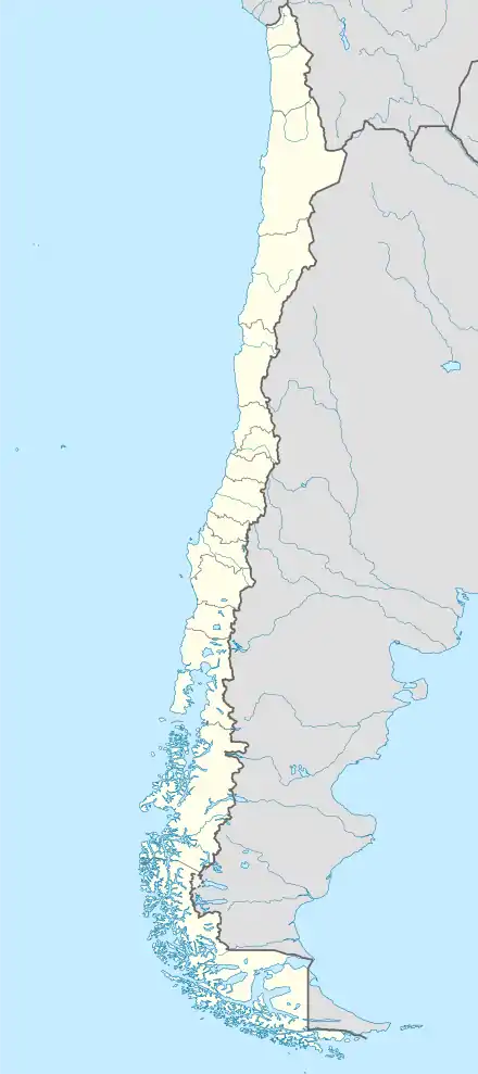 SCTM Location of La Montaña Airport in Chile | |||||||||||
| Runways | |||||||||||
| |||||||||||
The airstrip is in the valley of the Teno River, near the point where it enters the Chilean Central Valley from the Andes foothills. There is high and mountainous terrain in all quadrants except southwest.
The Curico VOR-DME (Ident:ICO) is located 18.2 nautical miles (33.7 km) west of the airstrip.[4]
See also
 Chile portal
 Aviation portal
- Transport in Chile
- List of airports in Chile
References
- Airport record for La Montaña Airport at Landings.com. Retrieved 2013-09-06
- Google (2013-09-06). "location of La Montaña Airport" (Map). Google Maps. Google. Retrieved 2013-09-06.
- Airport information for La Montaña Airport at Great Circle Mapper.
- Curico VOR
External links
- OpenStreetMap - La Montaña
- OurAirports - La Montaña
- FallingRain - La Montaña Airport
- Accident history for La Montaña Airport at Aviation Safety Network
This article is issued from Wikipedia. The text is licensed under Creative Commons - Attribution - Sharealike. Additional terms may apply for the media files.