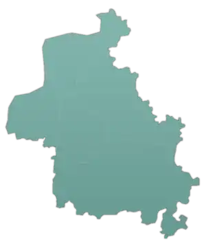
Deir Sharqi
Deir Sharqi (Arabic: دير شرقي, also spelled Dayr al-Sharqi) is a village administratively belonging to the Idlib Governorate in northwestern Syria. Nearby localities include the mantiqah ("district") center of Maarrat al-Nu'man to the northwest, Maar Shamshah to the north, Maar Shamarin and Tell Mannas to the northeast, Jarjnaz to the east, al-Tah to the south, Hish to the southwest and Basqala, Hass and Kafr Nabl to the west. According to the Syria Central Bureau of Statistics, Deir Sharqi had a population of 4,429 in the 2004 census.[1]
Deir Sharqi
دير شرقي Dayr al-Sharqi | |
|---|---|
Village | |
 Deir Sharqi Location in Syria | |
| Coordinates: 35°36′18″N 36°42′41″E | |
| Country | |
| Governorate | Idlib |
| District | Maarrat al-Nu'man |
| Subdistrict | Maarrat al-Nu'man |
| Population (2004) | |
| • Total | 4,429 |
| Time zone | UTC+2 (EET) |
| • Summer (DST) | UTC+3 (EEST) |
Deir Sharqi contains a Byzantine-era church dated to 361 CE. A notable mosaic was found in the building.[2] The village also contains the tombs of Umar II and his wife, Fatima bint Abd al-Malik, which were vandalized during the Syrian Civil War.[3]
References
- General Census of Population and Housing 2004 Archived 2013-02-06 at the Wayback Machine. Syria Central Bureau of Statistics (CBS). Idlib Governorate. (in Arabic)
- Campbell, 1991, p. 29.
- مشاهد صادمة.. ميليشيا أسد تنبش ضريح الخليفة "عمر بن عبد العزيز" وزوجته بإدلب. orient-news.net (in Arabic). 27 May 2020.
Bibliography
- Campbell, Sheila Diana (1991). The Mosaics of Aphrodisias in Caria: The Corpus of Mosaic Pavements in Turkey 2. PIMS. ISBN 0888443676.

