Golbshtadt (Moskalensky District)
Golbshtadt (Russian: Гольбштадт, German: Halbstadt) is a village in the Moskalensky District. Golbshtadt belongs to the rural settlement of Yekaterinovka.
Golbshtadt
Гольбштадт | |
|---|---|
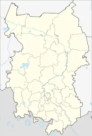
Location of Golbshtadt 
| |
 Golbshtadt Location of Golbshtadt  Golbshtadt Golbshtadt (Omsk Oblast) | |
| Coordinates: 54°55′N 71°54′E | |
| Country | Russia |
| Federal subject | Omsk Oblast |
| Founded | 1907 |
| Population | |
| • Total | 246 |
| • Subordinated to | town of oblast significance of Moskalenki, rural settlement of Yekaterinovka |
| Time zone | UTC+6 (MSK+3 |
| Postal code(s)[3] | 646070 |
| OKTMO ID | 52632404106 |
Geography
The village is located 7km south-west of Moskalenki. It is made out of one street which is called Tsentralnaya Ulitsa (Central Street).
History
Golbshtadt was founded in 1907 by settlers from the Black Sea and Volga Germans of the Belovezhskaya colony.[4]
Population
| 1920 | 1926 | 1970 | 1979 | 1989 | 2010[5] |
|---|---|---|---|---|---|
| 251 | ↘199 | ↗295 | ↘261 | ↗268 | ↘246 |
References
- Russian Federal State Statistics Service (2011). "Всероссийская перепись населения 2010 года. Том 1" [2010 All-Russian Population Census, vol. 1]. Всероссийская перепись населения 2010 года [2010 All-Russia Population Census] (in Russian). Federal State Statistics Service.
- "Об исчислении времени". Официальный интернет-портал правовой информации (in Russian). 3 June 2011. Retrieved 19 January 2019.
- Почта России. Информационно-вычислительный центр ОАСУ РПО. (Russian Post). Поиск объектов почтовой связи (Postal Objects Search) (in Russian)
- http://wolgadeutsche.net/diesendorf/Ortslexikon.pdf
- https://omsk.gks.ru/wps/wcm/connect/rosstat_ts/omsk/resources/2e93460041a16bbb8c80cc2d59c15b71/itogivpn2010_52!.xls
This article is issued from Wikipedia. The text is licensed under Creative Commons - Attribution - Sharealike. Additional terms may apply for the media files.