Gubbeltåga
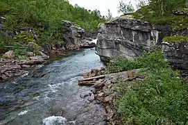
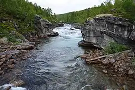
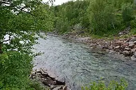
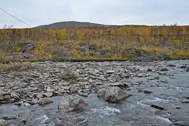
Gubbeltåga (Norwegian)[1] or Gubbeltædno (Lule Sami)[1] is a river in the municipality of Rana in Nordland county, Norway, which flows in a southern and southwestern direction. The 15-kilometre (9.3 mi) long river begins at the drainage divide on the Saltfjellet plateau in the north. On its direction mainly southwards, it meets and becomes a part of Randalselva, which has its beginning in the Norwegian-Swedish border regions. At Elvmøthei in the Dunderland Valley, Randalselva then meets Virvasselva and thus forms the beginning of Ranelva.
| Gubbeltåga (Norwegian) | |
|---|---|
 View of the river in 2012 | |
 Location of the river  Gubbeltåga (Norway) | |
| Native name | Gubbeltædno (Lule Sami) |
| Location | |
| Country | Norway |
| County | Nordland |
| Municipalities | Rana Municipality |
| Physical characteristics | |
| Source | Saltfjellet |
| • location | Rana, Norway |
| • coordinates | 66.56506°N 15.32777°E |
| • elevation | 674 metres (2,211 ft) |
| Mouth | Randalselva river |
• location | Rana, Norway |
• coordinates | 66.46525°N 15.23079°E |
• elevation | 446 metres (1,463 ft) |
| Length | 15 km (9.3 mi) |
| Basin size | 132.82 km2 (51.28 sq mi) |
| Basin features | |
| River system | Ranavassdraghet |
Name
The name is of Sami origin. Gubbelt means "valley in the mountain", and ædno means "large river".[2] Gubbeltåga is first mentioned in written records in 1742, during legal depositions in Selfors and in Gildeskål. These were connected to the drawing of the borders between Norway and Sweden after the Great Northern War, a process leading to two different laws of the border in 1752.
Media gallery
See also
References
- Statens kartverk: Fakta om stedsnavn: Gubbeltåga, Stedsobjekt-id: 2274931, Navneenhets-id: 712261 og 712262
- Sandnes, Jørn; Stemshaug, Ola (1976). Norsk stadnamnleksikon. Det Norske Samlaget, Oslo. ISBN 82-521-0544-0, page 135


