Horton, Ontario
Horton is a township in eastern Ontario, Canada, at the confluence of the Bonnechere River and the Ottawa River in Renfrew County. The Town of Renfrew was originally part of Horton Township.
- For other places with the same name, see Horton (disambiguation).
Horton | |
|---|---|
| Township of Horton | |
 Municipal building | |
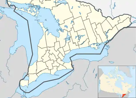 Horton | |
| Coordinates: 45°30′N 76°40′W | |
| Country | |
| Province | |
| County | Renfrew |
| Government | |
| • Mayor | David M. Bennett |
| • Governing body | Horton Council |
| • MP | Cheryl Gallant |
| • MPP | John Yakabuski |
| Area | |
| • Total | 158.51 km2 (61.20 sq mi) |
| Population (2016)[1] | |
| • Total | 2,887 |
| • Density | 18.2/km2 (47/sq mi) |
| Time zone | UTC-5 (EST) |
| • Summer (DST) | UTC-4 (EDT) |
| Area code(s) | 613 |
| Website | www.hortontownship.ca |
Robert A. Johnson was re-elected as Reeve in 2006.
Communities
The township comprises the communities of Castleford, Castleford Station, Cotieville, Fergusons Beach, Goshen, Lochwinnoch (partially), Mayhew and Thompson Hill.
Demographics
| Canada census – Horton, Ontario community profile | |||
|---|---|---|---|
| 2016 | 2011 | 2006 | |
| Population: | 2887 (6.2% from 2011) | 2719 (-3.0% from 2006) | 2803 (9.2% from 2001) |
| Land area: | 158.51 km2 (61.20 sq mi) | 158.53 km2 (61.21 sq mi) | 158.38 km2 (61.15 sq mi) |
| Population density: | 18.2/km2 (47/sq mi) | 17.2/km2 (45/sq mi) | 17.7/km2 (46/sq mi) |
| Median age: | 47.1 (M: 46.8, F: 47.5) | 44.1 (M: 43.3, F: 44.8) | |
| Total private dwellings: | 1175 | 1234 | 1287 |
| Median household income: | $55,546 | ||
| References: 2016[2] 2011[3] 2006[4] earlier[5] | |||
Attractions
- Storyland *Now closed*
See also
References
- "Horton census profile". 2016 Census of Population. Statistics Canada. Retrieved 2017-02-21.
- "2016 Community Profiles". 2016 Canadian Census. Statistics Canada. February 21, 2017. Retrieved 2017-02-21.
- "2011 Community Profiles". 2011 Canadian Census. Statistics Canada. July 5, 2013. Retrieved 2012-02-10.
- "2006 Community Profiles". 2006 Canadian Census. Statistics Canada. March 30, 2011. Retrieved 2012-02-10.
- "2001 Community Profiles". 2001 Canadian Census. Statistics Canada. February 17, 2012.
External links
Places adjacent to Horton, Ontario | |
|---|---|
| Cities |  | |
|---|---|---|
| Towns | ||
| Townships | ||
| First Nations | ||
| Indian reserves | ||
| ||
This article is issued from Wikipedia. The text is licensed under Creative Commons - Attribution - Sharealike. Additional terms may apply for the media files.