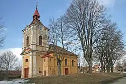
Jeníkovice (Hradec Králové District)
Jeníkovice | |
|---|---|
Village | |
 | |
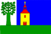 Flag _CoA_CZ.gif) Coat of arms | |
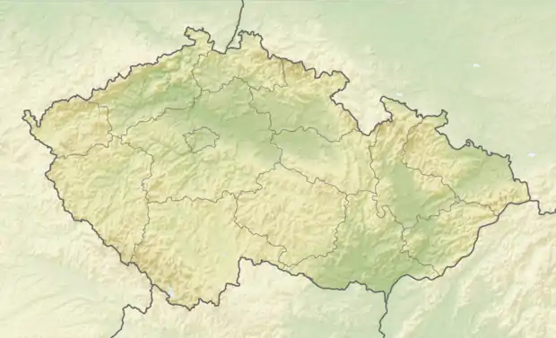 Jeníkovice Location in the Czech Republic | |
| Coordinates: 50°13′42″N 15°59′44″E | |
| Country | Czech Republic |
| Region | Hradec Králové |
| District | Hradec Králové |
| Municipality | Třebechovice pod Orebem |
| First mentioned | 1385 |
| Government | |
| • Mayor | Miloš Havel |
| Area | |
| • Total | 7.39 km2 (2.85 sq mi) |
| Elevation | 272 m (892 ft) |
| Population (2014-09-12) | |
| • Total | 470 |
| • Density | 64/km2 (160/sq mi) |
| Time zone | UTC+1 (CET) |
| • Summer (DST) | UTC+2 (CEST) |
| Postal code | 503 46 |
| Website | jenikovice.trebechovicko.cz |
Jeníkovice is a village in the Czech Republic.
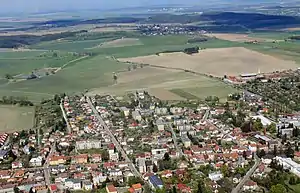
Air view with Třebechovice pod Orebem
External links
 Media related to Jeníkovice (Hradec Králové District) at Wikimedia Commons
- Municipal website
| Authority control |
|
|---|
This article is issued from Wikipedia. The text is licensed under Creative Commons - Attribution - Sharealike. Additional terms may apply for the media files.