John Greif II Airport
John Greif II Airport (IATA: SPR, ICAO: MZSP) is an airport that serves San Pedro and Ambergris Caye, Belize. The airport has maintenance and terminal facilities as well as a paved and marked runway.
John Greif II Airport San Pedro Airport | |||||||||||
|---|---|---|---|---|---|---|---|---|---|---|---|
 | |||||||||||
| Summary | |||||||||||
| Airport type | Public | ||||||||||
| Serves | San Pedro, Belize | ||||||||||
| Hub for | Tropic Air | ||||||||||
| Elevation AMSL | 4 ft / 1 m | ||||||||||
| Coordinates | 17°54′50″N 87°58′16″W | ||||||||||
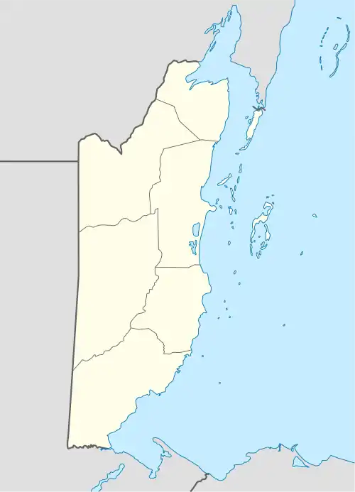
| Map | |||||||||||
 SPR Location in Belize | |||||||||||
| Runways | |||||||||||
| |||||||||||
Runway length includes a 60 metres (200 ft) displaced threshold on the western end. Approach and departure on either end are over the water.
The Chetumal VOR-DME (Ident: CTM) is located 41.3 nautical miles (76 km) north-northwest of the airport. The Belize VOR-DME (Ident: BZE) is located 29.9 nautical miles (55 km) southwest of the airport.[4][5]
The airport was renamed from San Pedro Airport to John Greif II Airport in 2010.[6][7]
Scheduled service
References
- Airport information for MZ10 at World Aero Data. Data current as of October 2006.Source: DAFIF.
- Airport information for SPR at Great Circle Mapper.
- Google Maps - San Pedro
- "Belize VOR". Our Airports. Retrieved 16 January 2019.
- "Chetumal VOR". Our Airports. Retrieved 16 January 2019.
- Ambergris Today - Airport renamed December 2010
- "John Greif II". Ambergris Caye. Retrieved 17 January 2019.
External links
- OurAirports - San Pedro
- OpenStreetMap - San Pedro
- FallingRain - San Pedro Airport
- Accident history for SPR at Aviation Safety Network
This article is issued from Wikipedia. The text is licensed under Creative Commons - Attribution - Sharealike. Additional terms may apply for the media files.