Kai Iwi
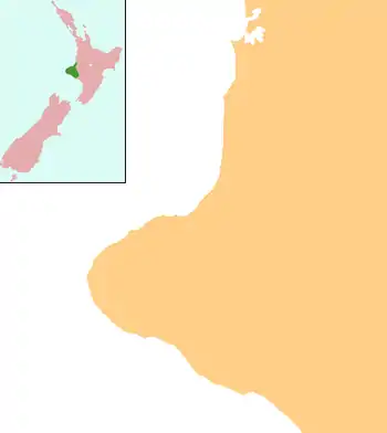
Kai Iwi is a rural community west of Whanganui in New Zealand's North Island. It lies close to SH 3, approximately halfway between Whanganui and Waitotara.
Kai Iwi | |
|---|---|
 Kai Iwi | |
| Coordinates: 39.851695°S 174.932211°E | |
| Country | New Zealand |
| Region | Manawatū-Whanganui |
| District | Whanganui District |
The area was settled by Europeans in the 1880s.[1]
Other than farming, the community's largest industry is its honey factory, which was founded in 2003.[2]
Marae
Kai Iwi has three marae, affiliated with Ngāti Iti and the Ngā Rauru hapū of Ngāti Pūkeko and Tamareheroto: Te Aroha Marae and Te Kotahitanga meeting house; Kai Iwi Marae and Awhakaueroa meeting house; and Taipake Marae and Taipake meeting house.[3][4]
In October 2020, the Government committed $522,926 from the Provincial Growth Fund to upgrade Te Ihupuku Marae, Waipapa Marae and Te Aroha Marae, creating 92 jobs.[5]
Education
Kai Iwi School is a co-educational state primary school for Year 1 to 8 students,[6] with a roll of 83 as of March 2020.[7]
References
- "Maxwell". Wanganui District Council. Retrieved 2 June 2012.
- Kai Iwi Honey website.
- "Te Kāhui Māngai directory". tkm.govt.nz. Te Puni Kōkiri.
- "Māori Maps". maorimaps.com. Te Potiki National Trust.
- "Marae Announcements" (Excel). growregions.govt.nz. Provincial Growth Fund. 9 October 2020.
- "Ministry of Education School Profile". educationcounts.govt.nz. Ministry of Education.
- "Education Review Office Report". ero.govt.nz. Education Review Office.