Khai Si
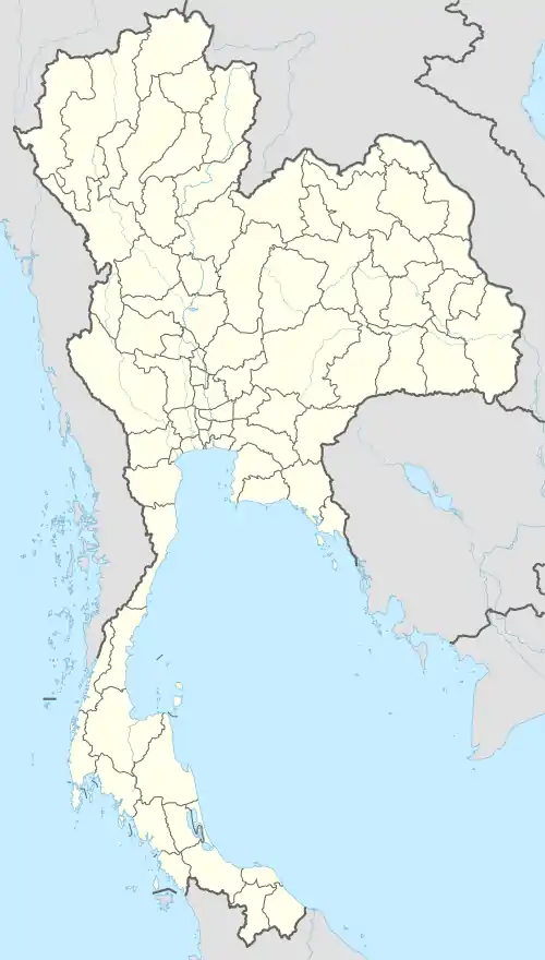
Khai Si (Thai: ไคสี) is a sub-district (tambon) in Mueang Bueng Kan District, in Bueng Kan Province, northeastern Thailand. As of 2012, it had a population of 5,294 people.[1] It lies on Highway 212 and the Mekong River and border with Laos, west of Bueng Kan and east of Ho Kham.[2]
Khai Si
ไคสี | |
|---|---|
 Khai Si | |
| Coordinates: 18°25′27″N 103°28′15″E | |
| Country | Thailand |
| Province | Bueng Kan |
| District | Mueang Bueng Kan |
| Population (2012) | |
| • Total | 5,294 |
| Time zone | UTC+7 (ICT) |
| Postal code | 38000 |
| TIS 1099 | 380108 |
History
The sub-district was created in 1979, when nine administrative villages were split from Nong Sawang Sub-district (then still named Nong Kheng) to form the new sub-district.[3]
Administration
The sub-district is divided into 10 administrative villages (mubans). The sub-district municipality Khai Si is the local government unit responsible for the sub-district, covering the whole of the sub-district.
| No. | Name | Thai |
|---|---|---|
| 1. | Ban Tha Sa-at | บ้านท่าสะอาด |
| 2. | Ban Don Yom | บ้านดอนยม |
| 3. | Ban Ahong | บ้านอาฮง |
| 4. | Ban Non Sila | บ้านโนนศิลา |
| 5. | Ban Khai Si | บ้านไคสี |
| 6. | Ban Siriphon | บ้านศิริพร |
| 7. | Ban Kham Muen | บ้านคำหมื่น |
| 8. | Ban Huai Sueam Nuea | บ้านห้วยเซือมเหนือ |
| 9. | Ban Non Phaeng | บ้านโนนแพง |
| 10. | Ban Kham Saen | บ้านคำแสน |
References
- "Population statistics 2012". Department of Provincial Administration.
- Maps (Map). Google Maps.
- ประกาศกระทรวงมหาดไทย เรื่อง ตั้งและเปลี่ยนแปลงเขตตำบลในท้องที่อำเภอท่าบ่อ อำเภอศรีเชียงใหม่ อำเภอสังคม อำเภอบึงกาฬและกิ่งอำเภอพรเจริญ อำเภอบึงกาฬ จังหวัดหนองคาย (PDF). Royal Gazette (in Thai). 96 (181 ง): 3770–3780. 1979-10-23.
This article is issued from Wikipedia. The text is licensed under Creative Commons - Attribution - Sharealike. Additional terms may apply for the media files.