Klaas Smits River
The Klaas Smits River (Afrikaans: Klaas Smitsrivier) is a river part of the Great Kei River system in the Eastern Cape, South Africa. It originates south of Molteno and flows through Sterkstroom, first southwards and then southeastwards before joining up with the Black Kei River. Presently the Klaas Smits River is part of the Mzimvubu to Keiskama Water Management Area.[1]
| Klaas Smits River Klaas Smitsrivier | |
|---|---|
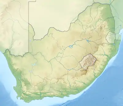
 Location of the Klaas Smits River mouth | |
| Location | |
| Country | South Africa |
| Province | Eastern Cape Province |
| Physical characteristics | |
| Source | Stormberg |
| • location | Near Molteno, Eastern Cape, South Africa |
| • elevation | 1,800 m (5,900 ft) |
| Source confluence | Swart-Kei / Wit-Kei |
| Mouth | Confluence with Black Kei River |
• coordinates | 32°01′44″S 26°56′0″E |
• elevation | 1,003 m (3,291 ft) |
| Length | 40 km (25 mi) |
| Basin features | |
| Tributaries | |
| • left | Komani River |
The Komani River is a tributary of the Klaas Smits, joining its left bank 5 km south of Queenstown.
The basin of this river saw much commando activity during the Second Boer War.[2]
References
- Is there a role for traditional governance systems in South Africa's new water management regime?
- Deneys Reitz, Commando: A Boer Journal of the Boer War, Kessinger Publishing, LLC, ISBN 978-1417925841
External links
- The South African Military History Society - Military History Journal Vol 13 No 1
- SA Estuarine Land-cover: Great Kei Catchment
- Towns of historical interest in the 'kei
This article is issued from Wikipedia. The text is licensed under Creative Commons - Attribution - Sharealike. Additional terms may apply for the media files.