Komani River
The Komani River, is a river part of the Great Kei River system in the Eastern Cape, South Africa. It is a short river originating north of Queenstown and joining up with the Klaas Smits River, just south of the same town.[1]
| Komani River Komanirivier | |
|---|---|
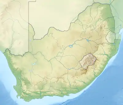
 Location of the Komani River mouth | |
| Location | |
| Country | South Africa |
| Province | Eastern Cape Province |
| Physical characteristics | |
| Source | Stormberg |
| • location | Eastern Cape, South Africa |
| • elevation | 1,400 m (4,600 ft) |
| Source confluence | Swart-Kei / Wit-Kei |
| Mouth | Confluence with Klaas Smits River |
• coordinates | 31°58′1″S 26°50′05″E |
• elevation | 1,020 m (3,350 ft) |
| Length | 40 km (25 mi) |
The Bongolo Dam, is situated on the Komani River. Presently this river is part of the Mzimvubu to Keiskama Water Management Area.[2]
References
External links
This article is issued from Wikipedia. The text is licensed under Creative Commons - Attribution - Sharealike. Additional terms may apply for the media files.