Krishnapur Madanpur
Krishnapur Madanpur is a village in Barasat II CD Block in Barasat Sadar subdivision of North 24 Parganas district in the state of West Bengal, India.
Krishnapur Madanpur | |
|---|---|
Village | |
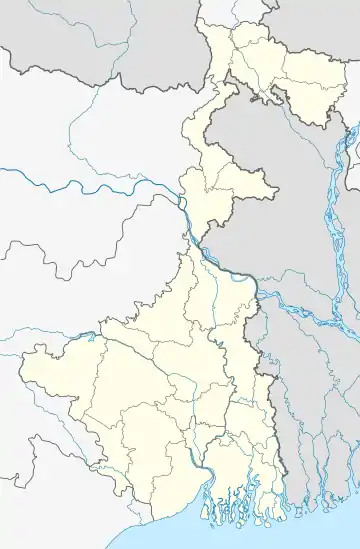 Krishnapur Madanpur Location in West Bengal, India  Krishnapur Madanpur Krishnapur Madanpur (India) | |
| Coordinates: 22.66973°N 88.521183°E | |
| Country | |
| State | West Bengal |
| District | North 24 Parganas |
| Population (2011) | |
| • Total | 3,015 |
| Languages | |
| • Official | Bengali, English |
| Time zone | UTC+5:30 (IST) |
| Lok Sabha constituency | Basirhat |
| Vidhan Sabha constituency | Haroa |
| Website | north24parganas |
CD Block HQ
The headquarters of Barasat II CD Block are located at Krishnapur Madanpur.[1]
Demographics
As per the 2011 Census of India, Krishnapur Madanpur had a total population of 3,015, of which 1,570 (52%) were males and 1,445 (48%) were females. Population below 6 years was 365. The total number of literates in Krishnapur Madanpur was 2,040 (76.98% of the population over 6 years).[2]
Transport
Badu Road links Krishnapur Madanpur to National Highway 12 (old numbering NH 34) at Madhyamgram and a link from Badu Road connects it to State Highway 2 (locally known as Taki Road).[3]
Healthcare
Bagband Siberia primary health centre is located nearby.[4][3]
See also
Map of Barasat II CD Block on Page 419 of District Census Handbook.[5]
References
- "District Census Handbook North Twenty Four Parganas, Census of India 2011, Series 20, Part XII A" (PDF). Map of North Twenty Four Parganas with CD Block HQs and Police Stations (on the fifth page). Directorate of Census Operations, West Bengal. Retrieved 19 May 2018.
- "C.D. Block Wise Primary Census Abstract Data(PCA)". West Bengal – District-wise CD Blocks. Registrar General and Census Commissioner, India. Retrieved 19 May 2018.
- Google maps
- "Health & Family Welfare Department". Health Statistics. Government of West Bengal. Retrieved 2 June 2018.
- "District Census Handbook North Twenty Four Parganas, Census of India 2011, Series 20, Part XII A" (PDF). Page 419 -Map of Barasat II CD Block. Directorate of Census Operations, West Bengal. Retrieved 1 June 2018.