List of Nova Scotia provincial highways
This is a list of numbered highways in the province of Nova Scotia.
| Nova Scotia provincial highway system | |
|---|---|
 .png.webp)  Standard highway markers for Nova Scotia | |
| Highway names | |
| Arterial (100-series) highways | Nova Scotia Highway 1XX (Hwy 1XX) |
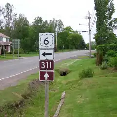
| Trunk Highways | Nova Scotia Trunk XX (Trunk XX) |
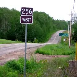
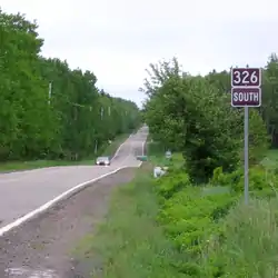
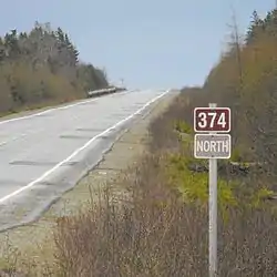
| Collector Highways | Nova Scotia Route XXX (Route XXX) |
| System links | |
| Provincial highways in Nova Scotia 100-series | |
Arterial (100-series) highways
A 100-series highway is a designation applied to a highway that can be a controlled-access expressway, Super-2, or fully divided freeway. The designation can also be applied in some cases to sections of uncontrolled access roads which are deemed strategically important and which will be upgraded in the future to controlled-access.
Trunk Highways
Nova Scotia's original arterial highway number system had route number signs in the same shape as the U.S. Highway route number signs. These signs are now used for Trunk routes. Former, "missing", Trunk routes were largely downgraded to Collector Routes in 1970.[1][2][3][4]
Collector Highways


Scenic Routes
Local roads
There is also an extensive system of unnumbered local roads in Nova Scotia, many of which are similar in construction, surface and dimension to the numbered collector highways. Examples of such un-numbered roads are:
- Ballpark Road
- Bethel Drive
- Mineville Road
- Mira Road
- Crisp Road: Ingilsville, Williamston, and New Albany
- West Dalhousie Road: Lequille, Lake LaRose, Perotte, West Dalhousie, Hannamville and Durland Lake
- Inglisville Road: West Inglisville,Inglisville, East Inglisville
- Mary Jane Riley Road: Clementsvale, Guinea, Waldeck
- Roxbury Road: Roxbury
- Neaves Road: Neavesville, Walker Lake
References
- Department of Highways, Nova Scotia (1936). Highway Map Nova Scotia (Map). Province of Nova Scotia.
- Department of Highways, Nova Scotia (1938). Highway Map Nova Scotia (Map). Province of Nova Scotia.
- Imperial Oil (1940). Imperial Oil map of Eastern Canada (Map). Imperial Oil Ltd.
- Province of Nova Scotia (1944). Official Road Map (Map). Province of Nova Scotia, Canada's Ocean Playground.
- Surveys and Mapping Branch, Department of Mines and Technical Surveys (1966). "Highways of Canada and Northern United States - Eastern Sheet" (Map). Canada and Northern United States. 1 in = 150 mi. Ottawa: Canadian Government Travel Bureau.