Nénigan
Nénigan is a commune in the Haute-Garonne department in southwestern France.
Nénigan | |
|---|---|
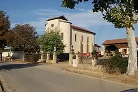 The church in Nénigan | |
Location of Nénigan 
| |
 Nénigan 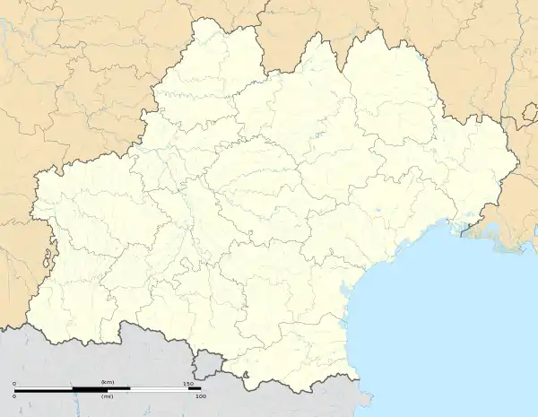 Nénigan | |
| Coordinates: 43°21′30″N 0°42′12″E | |
| Country | France |
| Region | Occitanie |
| Department | Haute-Garonne |
| Arrondissement | Saint-Gaudens |
| Canton | Saint-Gaudens |
| Government | |
| • Mayor (2008–2014) | Louis Gautier |
| Area 1 | 2.38 km2 (0.92 sq mi) |
| Population (2017-01-01)[1] | 65 |
| • Density | 27/km2 (71/sq mi) |
| Time zone | UTC+01:00 (CET) |
| • Summer (DST) | UTC+02:00 (CEST) |
| INSEE/Postal code | 31397 /31350 |
| Elevation | 213–297 m (699–974 ft) (avg. 297 m or 974 ft) |
| 1 French Land Register data, which excludes lakes, ponds, glaciers > 1 km2 (0.386 sq mi or 247 acres) and river estuaries. | |
Population
| Year | Pop. | ±% |
|---|---|---|
| 1962 | 63 | — |
| 1968 | 64 | +1.6% |
| 1975 | 61 | −4.7% |
| 1982 | 59 | −3.3% |
| 1990 | 59 | +0.0% |
| 1999 | 55 | −6.8% |
| 2008 | 56 | +1.8% |

The road D41 in Nénigan
Geography
The river Gesse forms all of the commune's eastern border; the Gimone forms all of its western border.
References
- "Populations légales 2017". INSEE. Retrieved 6 January 2020.
| Wikimedia Commons has media related to Nénigan. |
| Authority control |
|---|
This article is issued from Wikipedia. The text is licensed under Creative Commons - Attribution - Sharealike. Additional terms may apply for the media files.