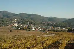
Olesa de Bonesvalls
Olesa de Bonesvalls is a village and municipality in the Alt Penedès comarca in Catalonia, Spain. Until 1990 it was included in Garraf comarca.
Olesa de Bonesvalls | |
|---|---|
 | |
 Flag  Coat of arms | |
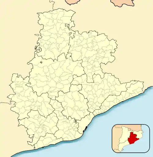 Olesa de Bonesvalls Location in Catalonia 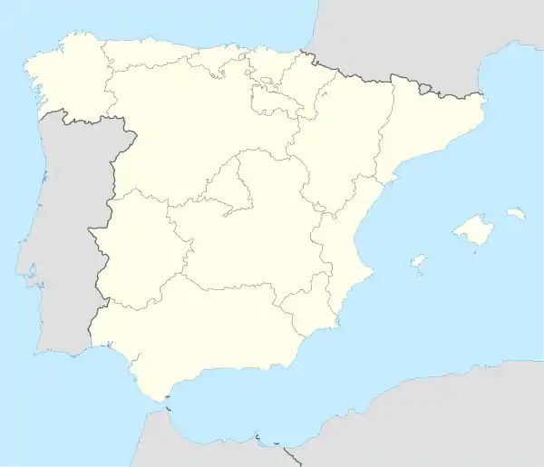 Olesa de Bonesvalls Olesa de Bonesvalls (Spain) | |
| Coordinates: 41°21′N 1°51′E | |
| Country | |
| Community | |
| Province | Barcelona |
| Comarca | Alt Penedès |
| Government | |
| • Mayor | Josep Ma. Tillo Bages (2015)[1] |
| Area | |
| • Total | 30.8 km2 (11.9 sq mi) |
| Elevation | 265 m (869 ft) |
| Population (2018)[3] | |
| • Total | 1,787 |
| • Density | 58/km2 (150/sq mi) |
| Demonym(s) | Olesà, olesana |
| Website | www |
It is located in the Garraf natural park, and includes its highest peak Montau, at 653m.[4] The land is stony karst with many caves, notably "Avenc de l'Esquerrà" at 348 m,[4] the deepest in Spain.
Its most notable building is Hospital de Cervelló, a fortified hostel complex for travellers dating from 1262, which has remained in good condition.[4]
Its economy is based mainly around agriculture, predominantly vineyards and orchards, and small local industry.
Its population was 1,735 in 2014.[1] The municipality is traversed by the road between the towns of Avinyonet del Penedès and Gavà.
Demography
| 1900 | 1930 | 1950 | 1970 | 1986 | 2014 |
|---|---|---|---|---|---|
| 643 | 513 | 389 | 372 | 329 | 1735 |
References
- "Ajuntament d'Olesa de Bonesvalls". Generalitat of Catalonia. Retrieved 2015-11-13.
- "El municipi en xifres: Olesa de Bonesvalls". Statistical Institute of Catalonia. Retrieved 2015-11-23.
- Municipal Register of Spain 2018. National Statistics Institute.
- "Olesa de Bonesvalls". Gran Enciclopèdia Catalana. Retrieved 2017-12-24.
External links
- Official website (in Catalan)
- Government data pages (in Catalan)
Places adjacent to Olesa de Bonesvalls | ||||||||||
|---|---|---|---|---|---|---|---|---|---|---|
| ||||||||||
.svg.png.webp)
This article is issued from Wikipedia. The text is licensed under Creative Commons - Attribution - Sharealike. Additional terms may apply for the media files.